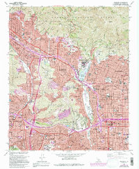
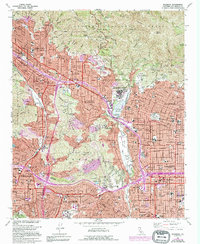
1966 Map of Pasadena
USGS Topo · Published 1994About this map
Pasadena and its neighboring valley communities are captured here in a period of intense post-war expansion, with the iconic Rose Bowl and City Hall anchoring the urban core. The map illustrates the complex relationship between the built environment and the steep terrain of the Verdugo Mountains and San Rafael Hills. Significant institutional landmarks, including Occidental College, Glendale College, and several major medical facilities like Pasadena Hospital, dominate the landscape alongside established residential districts like Altadena and La Canada Flintridge.
Find a feature on this map
98 named features on this map. Tap any name to fly to it.
Don’t see what you’re looking for? This feature index may not catch every label — zoom into the map to look around manually.
Map Details
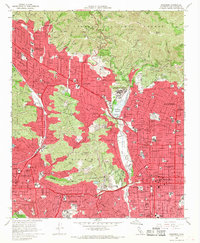
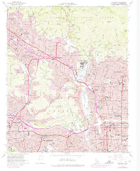
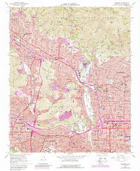
Editions of this 1966 Pasadena Map
5 editions found
Other maps of this area

1894 · Los Angeles
USGS Topo · 1:62,500

1896 · Pasadena
USGS Topo · 1:62,500

1896 · Santa Monica
USGS Topo · 1:62,500

1898 · Santa Monica
USGS Topo · 1:62,500

1900 · Pasadena
USGS Topo · 1:62,500

1900 · Tujunga
USGS Topo · 1:62,500

1900 · Los Angeles
USGS Topo · 1:62,500

1900 · Fernando
USGS Topo · 1:62,500

1901 · Southern California Sheet No. 1
USGS Topo · 1:250,000

1902 · Santa Monica
USGS Topo · 1:62,500