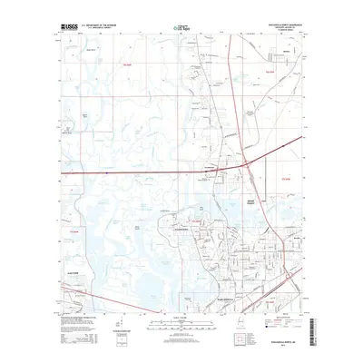
2015 Map of Pascagoula North
USGS Topo · Published 2015About this map
Lowry Island and a complex network of bayous anchor the center of this coastal survey, where the Pascagoula River splits into its eastern and western branches. The landscape is defined by its industrial and maritime connectivity, with the CSX Transportation line crossing through Moss Point and Pascagoula. On the eastern edge, the Trent Lott International Airport and suburban developments around Helena show the modern expansion of the region, yet the map remains deeply rooted in local heritage through numerous burial grounds like the Old Spanish Fort Cem and Evergreen Memorial Gardens.
Find a feature on this map
165 named features on this map. Tap any name to fly to it.
Don’t see what you’re looking for? This feature index may not catch every label — zoom into the map to look around manually.
Map Details
Editions of this 2015 Pascagoula North Map
This is the sole edition of this map. No revisions or reprints were ever made.
Other maps of this area

1921 · Grand Bay
USGS Topo · 1:62,500

1941 · Hurley
USGS Topo · 1:62,500

1941 · Vancleave
USGS Topo · 1:62,500

1943 · Pascagoula
USGS Topo · 1:62,500

1943 · Grand Bay
USGS Topo · 1:62,500

1943 · Hurley
USGS Topo · 1:62,500

1943 · Vancleave
USGS Topo · 1:62,500

1944 · Vancleave
USGS Topo · 1:62,500

1953 · Mobile
USGS Topo · 1:250,000

1955 · Pascagoula
USGS Topo · 1:62,500