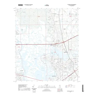
2020 Map of Pascagoula North
USGS Topo · Published 2020About this map
The Pascagoula River and its intricate network of bayous form the central character of this Jackson County coastal landscape. The terrain is a complex deltaic system where the West Pascagoula River and the Escatawpa River converge amidst a labyrinth of water bodies, including Ware Bayou, Creole Bayou, and Buzzard Bayou. This survey captures the residential and industrial corridors of Moss Point and Pascagoula as they integrate with the tidal wetlands and islands like Lowry Island and Dog Island.
Find a feature on this map
175 named features on this map. Tap any name to fly to it.
Don’t see what you’re looking for? This feature index may not catch every label — zoom into the map to look around manually.
Map Details
Editions of this 2020 Pascagoula North Map
This is the sole edition of this map. No revisions or reprints were ever made.
Other maps of this area

1921 · Grand Bay
USGS Topo · 1:62,500

1941 · Hurley
USGS Topo · 1:62,500

1941 · Vancleave
USGS Topo · 1:62,500

1943 · Pascagoula
USGS Topo · 1:62,500

1943 · Grand Bay
USGS Topo · 1:62,500

1943 · Hurley
USGS Topo · 1:62,500

1943 · Vancleave
USGS Topo · 1:62,500

1944 · Vancleave
USGS Topo · 1:62,500

1953 · Mobile
USGS Topo · 1:250,000

1955 · Pascagoula
USGS Topo · 1:62,500