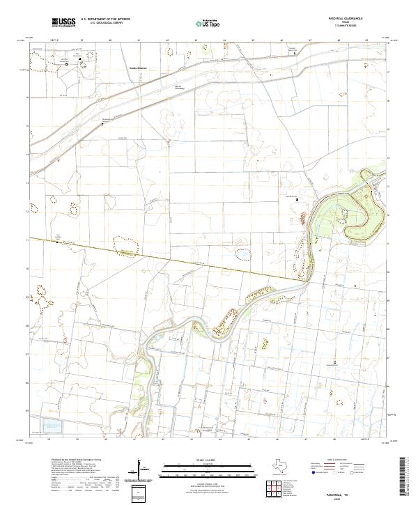
2022 Map of Paso Real
USGS Topo · Published 2022About this map
Santa Monica sits at the heart of this agricultural landscape in the Rio Grande Valley, where the boundary between Willacy Co and Cameron Co bisects fields and ranchlands. The area is defined by its complex water management systems, including the wide North Floodway and the winding course of the Arroyo Colorado. These waterways, alongside features like the Bilot Channel and San Vicente Drainage Ditch, illustrate the engineering required to sustain cultivation in this coastal plain environment.
Find a feature on this map
62 named features on this map. Tap any name to fly to it.
Don’t see what you’re looking for? This feature index may not catch every label — zoom into the map to look around manually.
Map Details
Editions of this 2022 Paso Real Map
This is the sole edition of this map. No revisions or reprints were ever made.
Other maps of this area

1929 · Rio Hondo
USGS Topo · 1:24,000

1929 · Harlingen
USGS Topo · 1:24,000

1930 · La Leona
USGS Topo · 1:24,000

1930 · Laguna Atascosa
USGS Topo · 1:24,000

1932 · Combes
USGS Topo · 1:31,680

1932 · Rio Hondo
USGS Topo · 1:31,680

1932 · Harlingen
USGS Topo · 1:31,680

1933 · Paso Real
USGS Topo · 1:31,680

1936 · La Leona
USGS Topo · 1:31,680
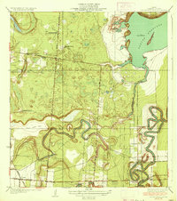
1936 · Laguna Atascosa
USGS Topo · 1:31,680
Featured Places
- Leisure Time Mobile Home Park Colonia, TX
- Fernando, TX
- Santa Monica, TX
- Paso Real, TX
- Laguna Escondida Colonia, TX