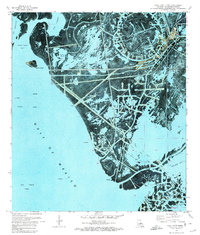
1971 Map of Pass Tante Phine
USGS Topo · Published 1974About this map
Oil Field operations and intricate marshland waterways dominate this 1971 orthophotomap of the Mississippi River Delta region. The landscape is a complex network of natural and engineered features, where established navigation routes like Tiger Pass, Spanish Pass, and Red Pass cut through the coastal wetlands. The transition from terrestrial marsh to the open waters of the Gulf of Mexico is marked by prominent landmarks such as Sandy Point and several protected bodies of water including Sandy Point Bay and Bay Coquette. Industrial development is evident through a widespread system of pipelines and numerous oil wells that punctuate the coastal shelf. This survey provides a literal photographic look at the delta's fragile geography before decades of coastal erosion further altered the reach of Chawee Bay and the surrounding Oil and Gas Field infrastructure.
Find a feature on this map
19 named features on this map. Tap any name to fly to it.
Don’t see what you’re looking for? This feature index may not catch every label — zoom into the map to look around manually.
Map Details
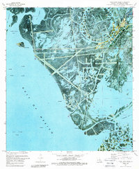
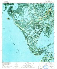
Editions of this 1971 Pass Tante Phine Map
3 editions found
Other maps of this area

1892 · Quarantine
USGS Topo · 1:62,500

1893 · Forts
USGS Topo · 1:62,500

1893 · West Delta
USGS Topo · 1:62,500

1941 · Empire
USGS Topo · 1:62,500

1944 · Empire
USGS Topo · 1:62,500

1946 · Pass Du Bois
USGS Topo · 1:31,680

1946 · Pass Tante Phine
USGS Topo · 1:31,680

1947 · Buras
USGS Topo · 1:31,680

1947 · Venice
USGS Topo · 1:31,680

1947 · Fort St. Philip
USGS Topo · 1:31,680