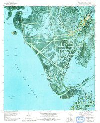
1971 Map of Pass Tante Phine
USGS Topo · Published 1992About this map
Venice Oil Field dominates the upper right of this deltaic landscape, where the terrestrial environment of Plaquemines Parish gives way to the open waters of the Gulf of Mexico. This 1971 survey captures an industrial shoreline defined by an intricate network of canals and pipelines that cut through the marsh. The map illustrates the intensive development of the petroleum industry during the early 1970s, featuring numerous oil wells, platforms, and sludge pits. Essential maritime and aviation infrastructure, including a Radio Tower and a Seaplane Ramp, support operations along Tiger Pass. Between these industrial corridors, the natural drainage of Bayou Alphonse, Bayou L'Outre, and Jacques Bayou persists, feeding into expansive coastal features like Sandy Point Bay and Bay Tambour. This orthophotomap provides a clear view of the shifting balance between natural bayous and human-engineered water ways.
Find a feature on this map
36 named features on this map. Tap any name to fly to it.
Don’t see what you’re looking for? This feature index may not catch every label — zoom into the map to look around manually.
Map Details
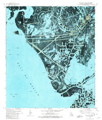
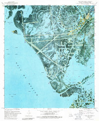
Editions of this 1971 Pass Tante Phine Map
3 editions found
Other maps of this area

1892 · Quarantine
USGS Topo · 1:62,500

1893 · Forts
USGS Topo · 1:62,500

1893 · West Delta
USGS Topo · 1:62,500

1941 · Empire
USGS Topo · 1:62,500

1944 · Empire
USGS Topo · 1:62,500

1946 · Pass Du Bois
USGS Topo · 1:31,680

1946 · Pass Tante Phine
USGS Topo · 1:31,680

1947 · Buras
USGS Topo · 1:31,680

1947 · Venice
USGS Topo · 1:31,680

1947 · Fort St. Philip
USGS Topo · 1:31,680