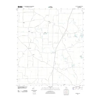
2011 Map of Pateville
USGS Topo · Published 2011About this map
Swift Creek and its many tributaries, including Rattlesnake Branch and Jones Creek, define the drainage patterns of this South Georgia landscape near the Crisp and Wilcox county lines. The settlement at Pateville serves as a central point, situated near Hardin Lake and its corresponding Hardin Lake Dam. The area is characterized by a network of rural routes such as Arabi Warwick Rd and Pateville Rd, which connect small clusters of homes and historical agricultural sites.
Find a feature on this map
69 named features on this map. Tap any name to fly to it.
Don’t see what you’re looking for? This feature index may not catch every label — zoom into the map to look around manually.
Map Details
Editions of this 2011 Pateville Map
This is the sole edition of this map. No revisions or reprints were ever made.
Other maps of this area

1953 · Waycross
USGS Topo · 1:250,000

1956 · Sylvester
USGS Topo · 1:62,500

1958 · Waycross
USGS Topo · 1:250,000

1972 · Cuffietown
USGS Topo · 1:24,000
1973 · Doles
USGS Topo · 1:24,000

1973 · Ashburn
USGS Topo · 1:24,000
1974 · Cordele
USGS Topo · 1:24,000
1977 · Cobb
USGS Topo · 1:24,000
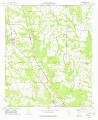
1977 · Arabi
USGS Topo · 1:24,000
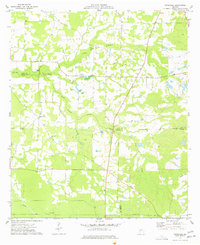
1977 · Pateville
USGS Topo · 1:24,000