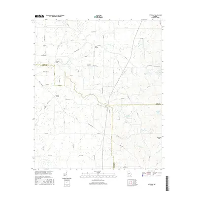
2017 Map of Pateville
USGS Topo · Published 2017About this map
Swift Creek and its various tributaries, including the North Branch Swift Creek and Rattlesnake Branch, form the primary drainage system for this South Georgia landscape. The settlement of Pateville serves as a central point in an area dominated by agricultural parcels and woodland. For genealogists, the map is a vital resource for locating several smaller burial grounds, such as Butts Cemetery, Story-Odum Cemetery, and Zion Hope Cemetery.
Find a feature on this map
71 named features on this map. Tap any name to fly to it.
Don’t see what you’re looking for? This feature index may not catch every label — zoom into the map to look around manually.
Map Details
Editions of this 2017 Pateville Map
This is the sole edition of this map. No revisions or reprints were ever made.
Other maps of this area

1953 · Waycross
USGS Topo · 1:250,000

1956 · Sylvester
USGS Topo · 1:62,500

1958 · Waycross
USGS Topo · 1:250,000

1972 · Cuffietown
USGS Topo · 1:24,000
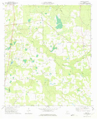
1973 · Doles
USGS Topo · 1:24,000

1973 · Ashburn
USGS Topo · 1:24,000
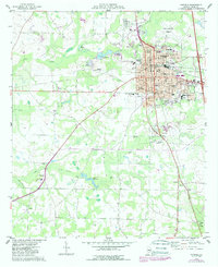
1974 · Cordele
USGS Topo · 1:24,000
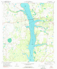
1977 · Cobb
USGS Topo · 1:24,000
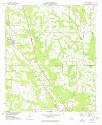
1977 · Arabi
USGS Topo · 1:24,000
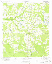
1977 · Pateville
USGS Topo · 1:24,000