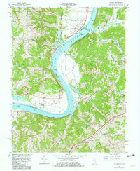
1981 Map of Patriot
USGS Topo · Published 1982About this map
The Ohio River forms a wide, sweeping bend at the heart of this border region, defining the boundary between Indiana and Kentucky. The settlement of Patriot sits on the northern bank, serving as a focal point for the agricultural activity that thrives in the fertile alluvial plains of Mexico Bottom and Steele Bottom. These lowlands contrast sharply with the dissected uplands of the Mead Ridge area, where a network of family cemeteries and small rural congregations, including Concord Ch and Paint Lick Ch, are tucked into the valleys of Sugar Creek and Paint Lick Creek.
Find a feature on this map
64 named features on this map. Tap any name to fly to it.
Don’t see what you’re looking for? This feature index may not catch every label — zoom into the map to look around manually.
Map Details
Editions of this 1981 Patriot Map
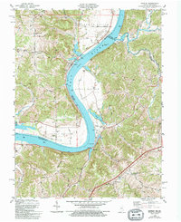
2 editions found
Other maps of this area

1943 · Florence
USGS Topo · 1:24,000

1943 · Aberdeen
USGS Topo · 1:24,000

1943 · Rising Sun
USGS Topo · 1:24,000

1943 · Patriot
USGS Topo · 1:24,000

1950 · Glencoe
USGS Topo · 1:24,000

1950 · Elliston
USGS Topo · 1:24,000

1950 · Union
USGS Topo · 1:24,000

1950 · Verona
USGS Topo · 1:24,000

1951 · Florence
USGS Topo · 1:24,000

1951 · Rising Sun
USGS Topo · 1:24,000