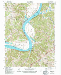
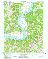
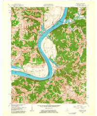
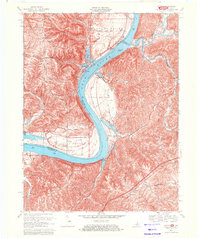
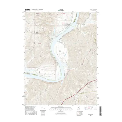
1981 Map of Patriot
USGS Topo · Published 1994About this map
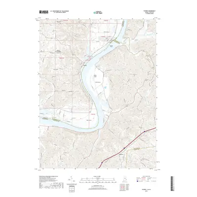
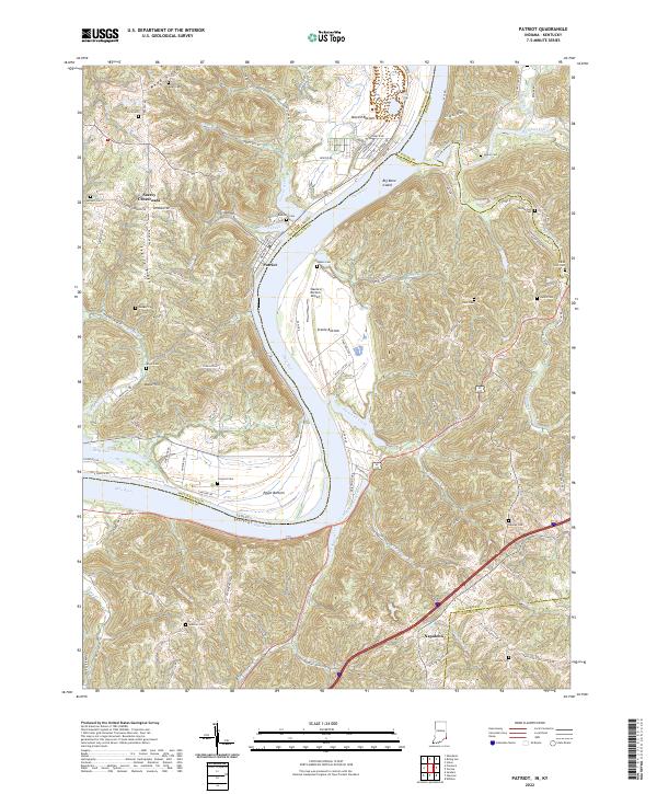
The Ohio River defines this landscape on the border of Kentucky and Indiana, weaving between high ridges and broad alluvial plains. The town of Patriot sits along the Indiana shore, situated near the sweeping bend that creates the productive flats of Steele Bottom and Mexico Bottom. Across the water in Kentucky, the terrain rises sharply from the riverbanks into a complex network of ridges like Wade Ridge and Mead Ridge, where small rural communities such as Napoleon and Searcy Crossroads are connected by winding country roads.
Find a feature on this map
70 named features on this map. Tap any name to fly to it.
Don’t see what you’re looking for? This feature index may not catch every label — zoom into the map to look around manually.
Map Details
Editions of this 1981 Patriot Map
2 editions found
Historical Maps of Patriot Through Time
10 maps found
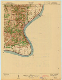
1943 Patriot
Switzerland County, IN
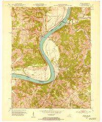
1951 Patriot
Switzerland County, IN
1961 Patriot
Switzerland County, IN
1969 Patriot
Switzerland County, IN
1981 Patriot
Switzerland County, IN
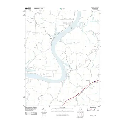
2010 Patriot
Switzerland County, IN
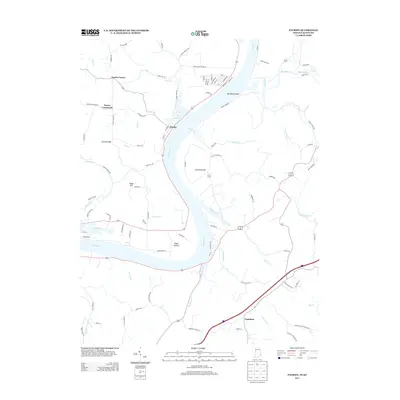
2013 Patriot
Switzerland County, IN
2016 Patriot
Switzerland County, IN
2019 Patriot
Switzerland County, IN
2022 Patriot
Switzerland County, IN