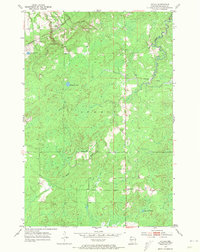
1954 Map of Patzau
USGS Topo · Published 1974About this map
Patzau serves as the primary settlement on this mid-century survey of the northern Wisconsin landscape, situated along the Minneapolis St Paul and Sault Ste Marie rail line. The terrain is defined by its water systems and early infrastructure, including an Old Railroad Grade that speaks to shifting transportation patterns in the Summit area. Local education and community life are anchored by the McCreary Sch and Chaffey Sch, providing valuable points of reference for genealogists tracing families in the region.
Find a feature on this map
14 named features on this map. Tap any name to fly to it.
Don’t see what you’re looking for? This feature index may not catch every label — zoom into the map to look around manually.
Map Details
Editions of this 1954 Patzau Map
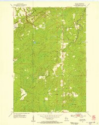
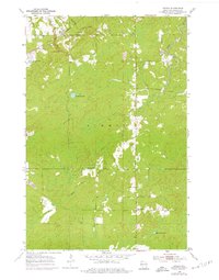
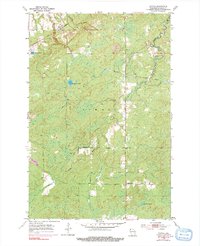
4 editions found
Other maps of this area

1915 · Superior
USGS Topo · 1:48,000

1917 · Superior
USGS Topo · 1:62,500

1949 · Holyoke
USGS Topo · 1:48,000

1949 · Patzau
USGS Topo · 1:48,000

1953 · Duluth
USGS Topo · 1:250,000

1954 · Borea
USGS Topo · 1:24,000

1954 · Foxboro
USGS Topo · 1:24,000

1954 · Sunnyside
USGS Topo · 1:24,000

1954 · Amnicon Lake
USGS Topo · 1:24,000

1954 · Frogner
USGS Topo · 1:24,000