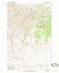
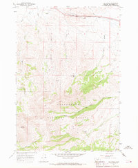
1957 Map of Paul Reservoir
USGS Topo · Published 1970About this map
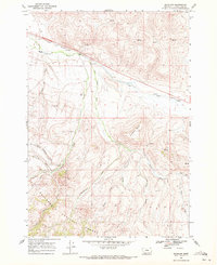
The Continental Divide forms the primary spine of this high-altitude landscape along the boundary of Idaho and Montana. Within the Beaverhead National Forest, the terrain is defined by the Beaverhead Mountains and a complex drainage system that feeds into Paul Reservoir. Settlement here is sparse and functional, centered around seasonal operations like Gleed Cow Camp and the regional Headquarters in Pleasant Valley.
Find a feature on this map
60 named features on this map. Tap any name to fly to it.
Don’t see what you’re looking for? This feature index may not catch every label — zoom into the map to look around manually.
Map Details
Editions of this 1957 Paul Reservoir Map
2 editions found
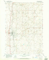
Other maps of this area

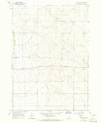
1955 · Dubois
USGS Topo · 1:250,000
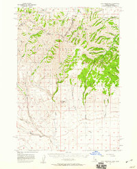
1957 · Paul Reservoir
USGS Topo · 1:62,500
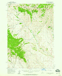
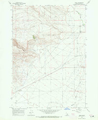
1957 · Edie Ranch
USGS Topo · 1:62,500

1958 · Dubois
USGS Topo · 1:250,000
1964 · Dubois NW
USGS Topo · 1:24,000
1964 · Lone Butte
USGS Topo · 1:24,000
1964 · Small
USGS Topo · 1:24,000
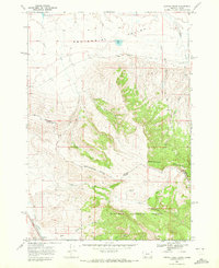
1965 · Lima Peaks
USGS Topo · 1:24,000
1968 · Corral Creek
USGS Topo · 1:24,000
1968 · Snowline
USGS Topo · 1:24,000