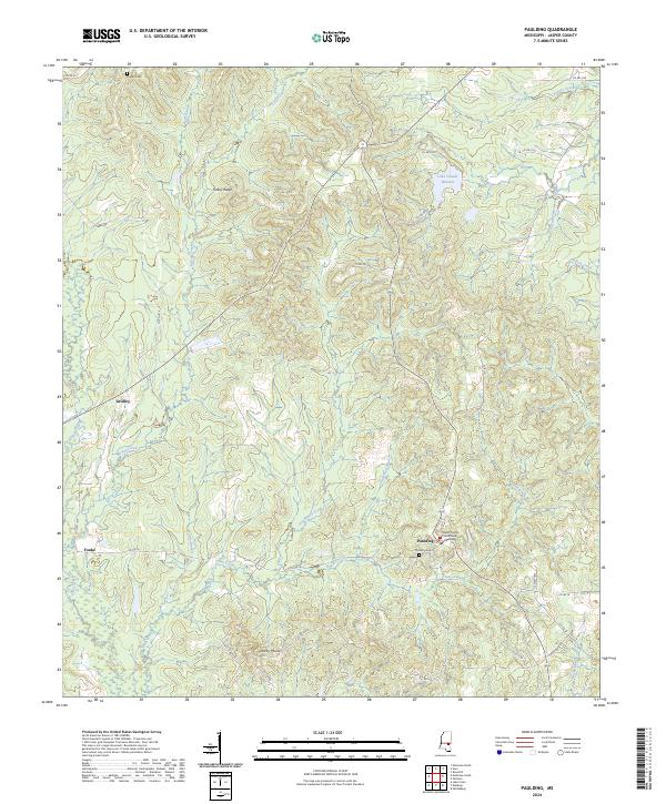
2024 Map of Paulding
USGS Topo · Published 2024This historical map portrays the area of Paulding in 2024, primarily covering Jasper County. Featuring a scale of 1:24000, this map provides a highly detailed snapshot of the terrain, roads, buildings, counties, and historical landmarks in the Paulding region at the time. Published in 2024, it is the sole known edition of this map.
Map Details
Editions of this 2024 Paulding Map
This is the sole edition of this map. No revisions or reprints were ever made.
Historical Maps of Fouke Through Time
18 maps found
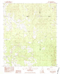
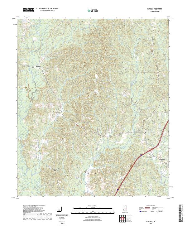
1963 Waldrup
Jasper County, MS
1964 Lake Como
Jasper County, MS
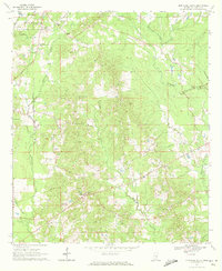
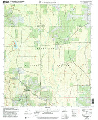
1968 Clear Springs
Jasper County, MS
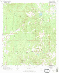
1970 Hero
Jasper County, MS
1970 Montrose North
Jasper County, MS
1970 Montrose South
Jasper County, MS
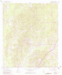
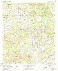
1970 Paulding
Jasper County, MS
1983 Rose Hill
Jasper County, MS
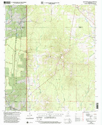
2000 Clear Springs
Jasper County, MS
2000 Montrose North
Jasper County, MS
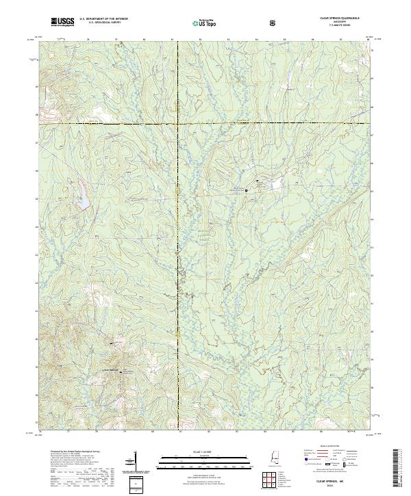
2024 Clear Springs
Jasper County, MS
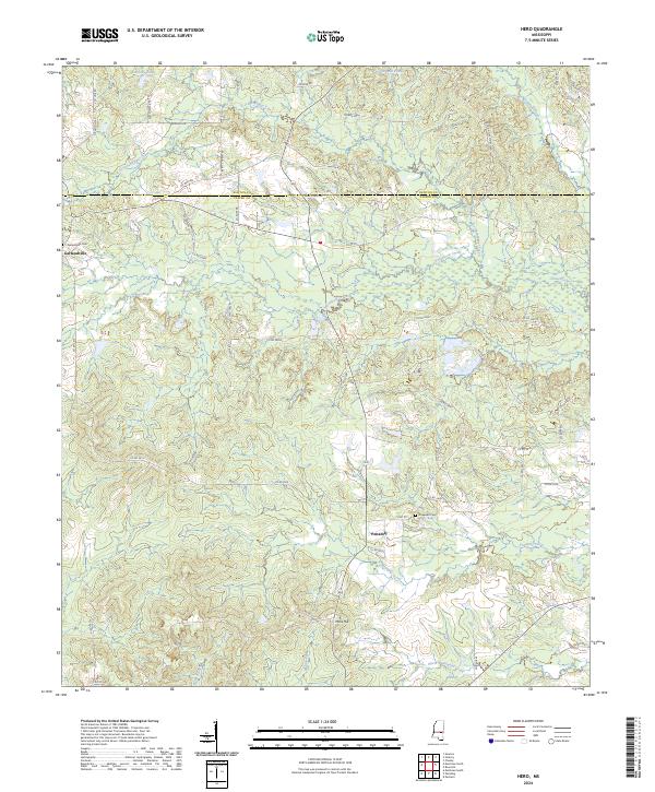
2024 Hero
Jasper County, MS
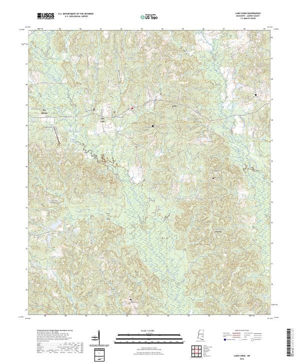
2024 Lake Como
Jasper County, MS
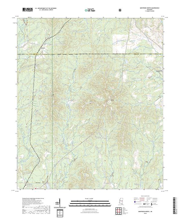
2024 Montrose North
Jasper County, MS
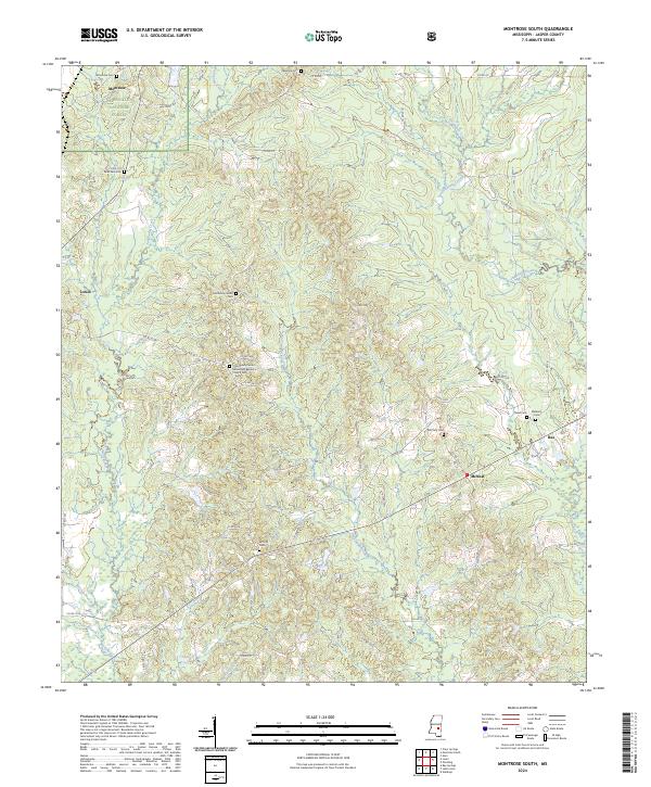
2024 Montrose South
Jasper County, MS
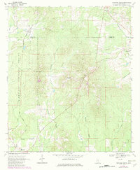
2024 Paulding
Jasper County, MS
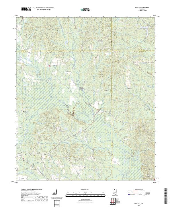
2024 Rose Hill
Jasper County, MS
2024 Waldrup
Jasper County, MS