
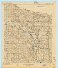
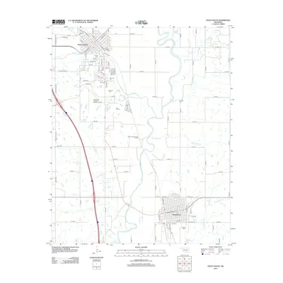
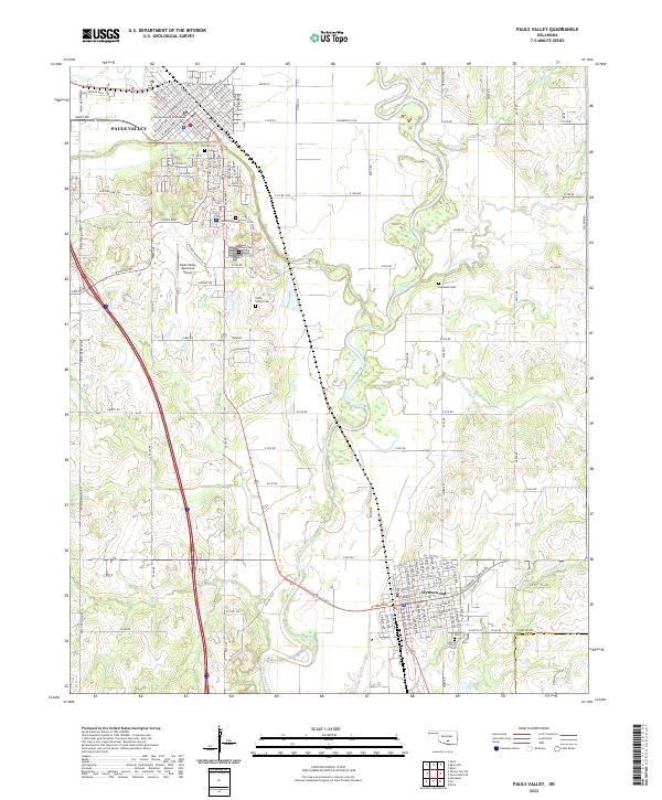
1986 Map of Pauls Valley
USGS Topo · Published 1986About this map
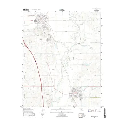
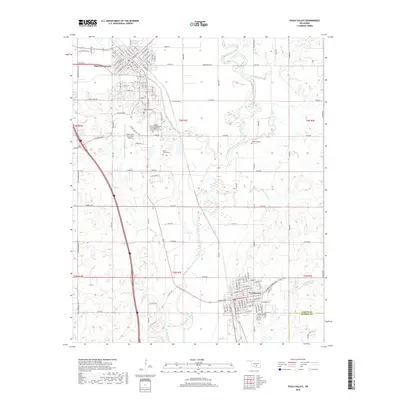
The Washita River and Canadian River valleys define this mid-1980s landscape, where agricultural tradition meets the energy infrastructure of the Oil Field Road. Centered on Pauls Valley, the map details a region transitioning toward the Arbuckle Mountains to the south. Local history is anchored by numerous small settlements like Erin Springs, Whitebead, and Chitwood, alongside vital transportation corridors such as the Atchison Topeka and Santa Fe railroad. The inclusion of the Chickasaw National Wildlife Refuge and resources like the Purcell Lake show the importance of water management and conservation in Garvin County. Genealogists will find value in the placement of Hillside Cem, Oaklawn Cem, and Mt Olive Church, which serve as permanent markers for the area's rural communities.
Find a feature on this map
112 named features on this map. Tap any name to fly to it.
Don’t see what you’re looking for? This feature index may not catch every label — zoom into the map to look around manually.
Map Details
Editions of this 1986 Pauls Valley Map
2 editions found
Historical Maps of Duncan Through Time
9 maps found

1898 Pauls Valley
Garvin County, OK
1902 Pauls Valley
Garvin County, OK
1965 Pauls Valley
Garvin County, OK
1986 Pauls Valley
Garvin County, OK
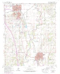
2009 Pauls Valley
Garvin County, OK
2012 Pauls Valley
Garvin County, OK
2016 Pauls Valley
Garvin County, OK
2018 Pauls Valley
Garvin County, OK
2022 Pauls Valley
Garvin County, OK