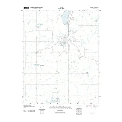
2009 Map of Pawnee
USGS Topo · Published 2009About this map
The settlement of Pawnee sits at the heart of this landscape, its grid system bounded by the winding course of Black Bear Creek. This 2009 survey highlights a complex water management system surrounding the town, including Pawnee Lake to the north and numerous flood control structures such as the Lower Black Bear Number 17 Reservoir and the Pawnee City Dam. The cultural landscape is marked by significant local sites, including the Old Town Trading Post and a series of burial grounds—Highland Cemetery, North Indian Cemetery, and South Indian Cemetery—which reflect the community's heritage and development.
Find a feature on this map
47 named features on this map. Tap any name to fly to it.
Don’t see what you’re looking for? This feature index may not catch every label — zoom into the map to look around manually.
Map Details
Editions of this 2009 Pawnee Map
This is the sole edition of this map. No revisions or reprints were ever made.
Other maps of this area

1929 · Yale
USGS Topo · 1:62,500

1929 · Ripley
USGS Topo · 1:62,500

1929 · Skedee
USGS Topo · 1:62,500

1930 · Pawnee
USGS Topo · 1:62,500

1931 · Skedee
USGS Topo · 1:62,500

1932 · Yale
USGS Topo · 1:62,500

1932 · Ripley
USGS Topo · 1:62,500

1936 · Pawnee
USGS Topo · 1:62,500

1955 · Enid
USGS Topo · 1:250,000

1958 · Enid
USGS Topo · 1:250,000