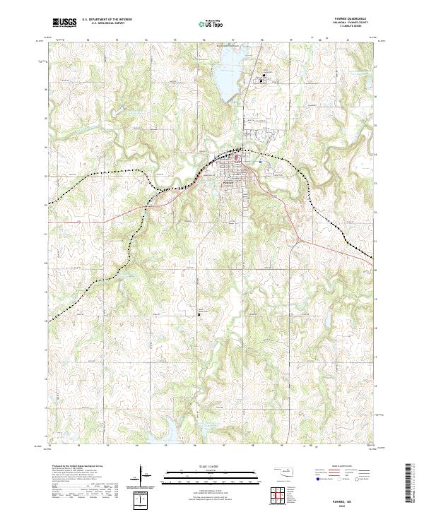
2022 Map of Pawnee
USGS Topo · Published 2022About this map
Pawnee serves as the focal point of this Pawnee County survey, with its grid of streets centered on the Pawnee County Courthouse. The town’s history and character are reflected in the naming of local thoroughfares such as Mose Yellow Horse Dr and Pawnee Bill Rd, which pay tribute to notable local figures. Beyond the town limits, the landscape is defined by the winding course of Black Bear Creek and its many tributaries, including Skedee Cr and Camp Creek.
Find a feature on this map
56 named features on this map. Tap any name to fly to it.
Don’t see what you’re looking for? This feature index may not catch every label — zoom into the map to look around manually.
Map Details
Editions of this 2022 Pawnee Map
This is the sole edition of this map. No revisions or reprints were ever made.
Other maps of this area

1929 · Yale
USGS Topo · 1:62,500

1929 · Ripley
USGS Topo · 1:62,500

1929 · Skedee
USGS Topo · 1:62,500

1930 · Pawnee
USGS Topo · 1:62,500

1931 · Skedee
USGS Topo · 1:62,500

1932 · Yale
USGS Topo · 1:62,500

1932 · Ripley
USGS Topo · 1:62,500

1936 · Pawnee
USGS Topo · 1:62,500

1955 · Enid
USGS Topo · 1:250,000

1958 · Enid
USGS Topo · 1:250,000