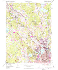
1949 Map of Pawtucket
USGS Topo · Published 1977About this map
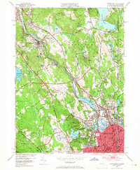
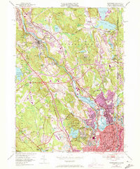
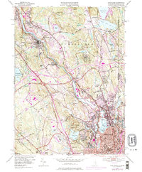
The Blackstone River valley dominates this postwar landscape, tracing the industrial spine through Lonsdale, Ashton, and Albion. The river’s path is closely mirrored by the Providence and Worcester railroad, illustrating the historical reliance on water power and rail transit that built the region's manufacturing base. To the south, the urban density of Central Falls and Pawtucket contrasts sharply with the managed wilderness of Lincoln Woods State Park, which preserves significant geological features like Table Rock Hill and Quinsnicket Hill alongside Olney Pond.
Find a feature on this map
90 named features on this map. Tap any name to fly to it.
Don’t see what you’re looking for? This feature index may not catch every label — zoom into the map to look around manually.
Map Details
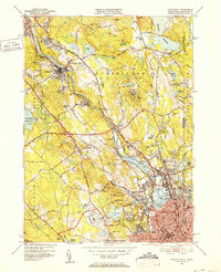
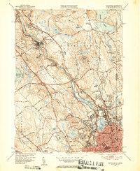
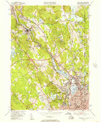
Editions of this 1949 Pawtucket Map
7 editions found
Other maps of this area

1886 · Blackstone
USGS Topo · 1:62,500

1887 · Franklin
USGS Topo · 1:62,500

1887 · Providence
USGS Topo · 1:62,500

1889 · Providence
USGS Topo · 1:62,500

1889 · Blackstone
USGS Topo · 1:62,500

1889 · Franklin
USGS Topo · 1:62,500

1889 · Burrillville
USGS Topo · 1:62,500

1893 · Franklin
USGS Topo · 1:62,500

1893 · Blackstone
USGS Topo · 1:62,500

1894 · Burrillville
USGS Topo · 1:62,500