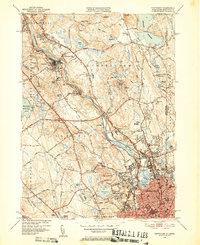
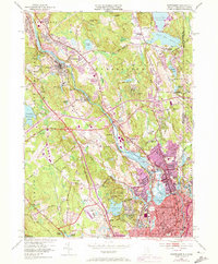
1949 Map of Pawtucket
USGS Topo · Published 1952About this map
The Blackstone River serves as the industrial spine of this Rhode Island landscape, anchoring a chain of mill towns including Manville, Albion, and Lonsdale. By the late 1940s, the dense urban grid of Central Falls and Valley Falls contrasts sharply with the expansive wooded terrain of the Lincoln Woods Reservation to the west. This period captures the region's diverse infrastructure, from the active New York New Haven and Hartford RR lines to the Berkeley Airport and the Radio Towers (WPAL) near Saylesville.
Find a feature on this map
114 named features on this map. Tap any name to fly to it.
Don’t see what you’re looking for? This feature index may not catch every label — zoom into the map to look around manually.
Map Details
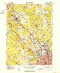
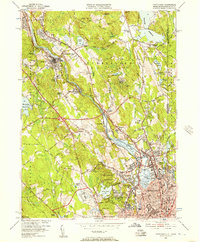
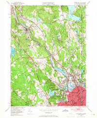
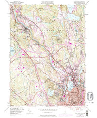
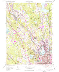
Editions of this 1949 Pawtucket Map
7 editions found
Other maps of this area

1886 · Blackstone
USGS Topo · 1:62,500

1887 · Franklin
USGS Topo · 1:62,500

1887 · Providence
USGS Topo · 1:62,500

1889 · Providence
USGS Topo · 1:62,500

1889 · Blackstone
USGS Topo · 1:62,500

1889 · Franklin
USGS Topo · 1:62,500

1889 · Burrillville
USGS Topo · 1:62,500

1893 · Franklin
USGS Topo · 1:62,500

1893 · Blackstone
USGS Topo · 1:62,500

1894 · Burrillville
USGS Topo · 1:62,500