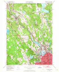
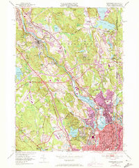
1949 Map of Pawtucket
USGS Topo · Published 1965About this map
The Blackstone River serves as the industrial spine of this region, its waters driving the development of mill towns like Manville, Albion, and Lonsdale. By the late 1940s, the area displays a dense mix of textile history and mid-century expansion, anchored by the legendary Old Slater Mill in Pawtucket. The corridor is defined by the New York New Haven and Hartford railroad, which follows the river's path, connecting the urban centers of Central Falls with the smaller residential estates and villages to the north.
Find a feature on this map
93 named features on this map. Tap any name to fly to it.
Don’t see what you’re looking for? This feature index may not catch every label — zoom into the map to look around manually.
Map Details
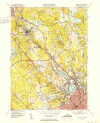
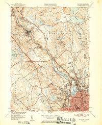
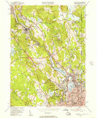
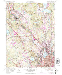
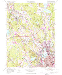
Editions of this 1949 Pawtucket Map
7 editions found
Other maps of this area

1886 · Blackstone
USGS Topo · 1:62,500

1887 · Franklin
USGS Topo · 1:62,500

1887 · Providence
USGS Topo · 1:62,500

1889 · Providence
USGS Topo · 1:62,500

1889 · Blackstone
USGS Topo · 1:62,500

1889 · Franklin
USGS Topo · 1:62,500

1889 · Burrillville
USGS Topo · 1:62,500

1893 · Franklin
USGS Topo · 1:62,500

1893 · Blackstone
USGS Topo · 1:62,500

1894 · Burrillville
USGS Topo · 1:62,500