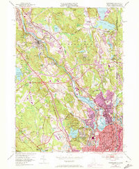
1949 Map of Pawtucket
USGS Topo · Published 1973About this map
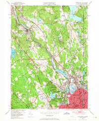
The Blackstone River corridor serves as the industrial and topographic spine of this region, with the historic Blackstone Canal tracing the valley floor through settlements like Lonsdale and Albion. Industry and recreation are closely linked here, evidenced by the Arnold Mills complex and the preserved landscape of Lincoln Woods State Park surrounding Olney Pond. The map reveals a densely developed urban core in Central Falls and Pawtucket, contrasting with the more dispersed residential estates like Lippitt Estate and the open grounds of the Lincoln Downs track.
Find a feature on this map
120 named features on this map. Tap any name to fly to it.
Don’t see what you’re looking for? This feature index may not catch every label — zoom into the map to look around manually.
Map Details
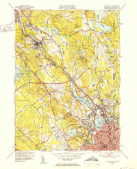
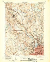
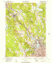
Editions of this 1949 Pawtucket Map
7 editions found
Other maps of this area

1886 · Blackstone
USGS Topo · 1:62,500

1887 · Franklin
USGS Topo · 1:62,500

1887 · Providence
USGS Topo · 1:62,500

1889 · Providence
USGS Topo · 1:62,500

1889 · Blackstone
USGS Topo · 1:62,500

1889 · Franklin
USGS Topo · 1:62,500

1889 · Burrillville
USGS Topo · 1:62,500

1893 · Franklin
USGS Topo · 1:62,500

1893 · Blackstone
USGS Topo · 1:62,500

1894 · Burrillville
USGS Topo · 1:62,500