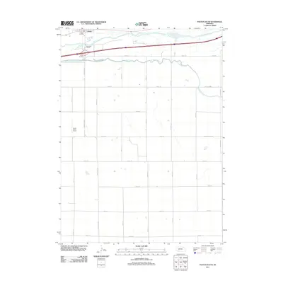
2011 Map of Paxton South
USGS Topo · Published 2011About this map
South Platte River braids through the northern edge of this Keith County landscape, flanked by an extensive network of irrigation infrastructure essential to High Plains agriculture. The South Platte River Supply Canal and Sutherland Canal dominate the hydrology south of the river, following the contours of the terrain to manage water across the agricultural grid. The village of Paxton serves as the local hub, situated near the Paxton Post Office and the Paxton Cemetery. Away from the river valley, the landscape is defined by a strictly organized system of section-line roads, including Paxton Elsie Rd and various numbered routes like Road E 40, which facilitate movement between scattered farmsteads and specialized sites like the Lierley Farms Airport.
Find a feature on this map
27 named features on this map. Tap any name to fly to it.
Don’t see what you’re looking for? This feature index may not catch every label — zoom into the map to look around manually.
Map Details
Editions of this 2011 Paxton South Map
This is the sole edition of this map. No revisions or reprints were ever made.
Other maps of this area

1898 · Paxton
USGS Topo · 1:125,000

1901 · Paxton
USGS Topo · 1:125,000

1954 · McCook
USGS Topo · 1:250,000

1954 · North Platte
USGS Topo · 1:250,000

1956 · North Platte
USGS Topo · 1:250,000

1957 · North Platte
USGS Topo · 1:250,000

1957 · McCook
USGS Topo · 1:250,000

1958 · McCook
USGS Topo · 1:250,000

1967 · North Platte
USGS Topo · 1:250,000

1971 · Sutherland Reservoir West
USGS Topo · 1:24,000