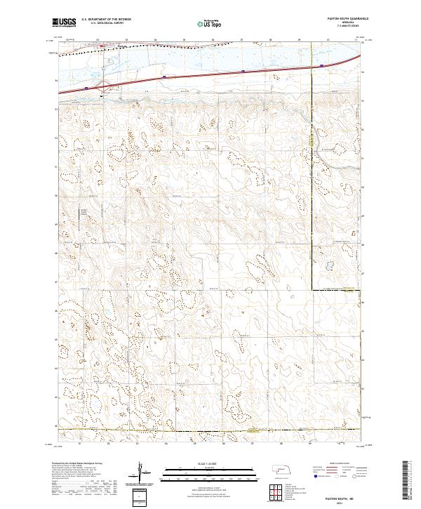
2021 Map of Paxton South
USGS Topo · Published 2021About this map
Paxton serves as the northern anchor for this landscape, where the South Platte River and its accompanying irrigation infrastructure define the regional character. The intricate network of the South Platte River Supply Canal and the Sutherland Canal illustrates the intensive water management required for Nebraska agriculture. Just south of the town, the Paxton Cem provides a focal point for genealogical research, while the presence of the Lierley Farms Airport highlights the rural aviation needs of the area's farming community. The map is defined by a rigorous grid of section lines and rural routes, such as Paxton Elsie Rd and Rd East 70, which partition the undulating terrain. This 2021 survey also documents the convergence of several county boundaries, where the corners of Keith, Lincoln, and Perkins Counties meet in the sandhills region.
Find a feature on this map
37 named features on this map. Tap any name to fly to it.
Don’t see what you’re looking for? This feature index may not catch every label — zoom into the map to look around manually.
Map Details
Editions of this 2021 Paxton South Map
This is the sole edition of this map. No revisions or reprints were ever made.
Other maps of this area

1898 · Paxton
USGS Topo · 1:125,000

1901 · Paxton
USGS Topo · 1:125,000

1954 · McCook
USGS Topo · 1:250,000

1954 · North Platte
USGS Topo · 1:250,000

1956 · North Platte
USGS Topo · 1:250,000

1957 · North Platte
USGS Topo · 1:250,000

1957 · McCook
USGS Topo · 1:250,000

1958 · McCook
USGS Topo · 1:250,000

1967 · North Platte
USGS Topo · 1:250,000

1971 · Sutherland Reservoir West
USGS Topo · 1:24,000