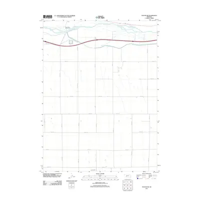
2011 Map of Paxton SW
USGS Topo · Published 2011About this map
The South Platte River dominates the northern reaches of this landscape in Keith County, serving as the primary geographic corridor for both natural and engineered water systems. The Platte Valley Diversion Dam stands as a significant point of infrastructure, feeding the South Platte River Supply Canal as it parallels the river's course. This area represents a critical intersection of Nebraska water management and rural transport, where the settlement of Korty sits near the hydraulic works that define the local economy. South of the river valley, the terrain is organized by an extensive grid of section roads, including Road E 80 and Road E 50, which facilitate movement through the agricultural uplands. A solitary Landing Strip in the southern portion of the map highlights the necessity of aerial access in this expansive plains environment, where the human footprint is measured in miles of irrigation and long-distance road networks.
Find a feature on this map
20 named features on this map. Tap any name to fly to it.
Don’t see what you’re looking for? This feature index may not catch every label — zoom into the map to look around manually.
Map Details
Editions of this 2011 Paxton SW Map
This is the sole edition of this map. No revisions or reprints were ever made.
Other maps of this area

1897 · Ogallala
USGS Topo · 1:125,000

1898 · Paxton
USGS Topo · 1:125,000

1900 · Ogallala
USGS Topo · 1:125,000

1901 · Paxton
USGS Topo · 1:125,000

1954 · McCook
USGS Topo · 1:250,000

1954 · North Platte
USGS Topo · 1:250,000

1956 · North Platte
USGS Topo · 1:250,000

1957 · North Platte
USGS Topo · 1:250,000

1957 · McCook
USGS Topo · 1:250,000

1958 · McCook
USGS Topo · 1:250,000