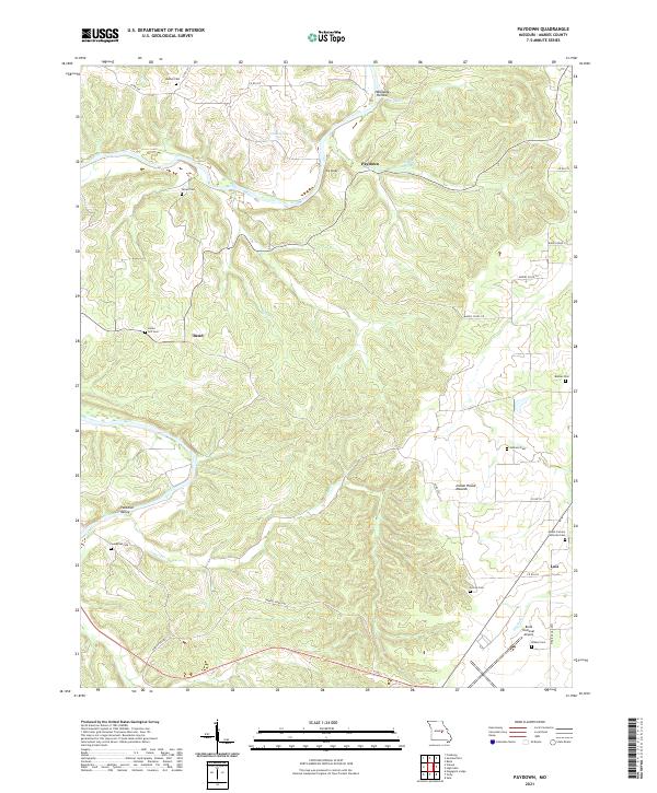
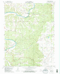
2021 Map of Paydown
USGS Topo · Published 2021This historical map portrays the area of Paydown in 2021, primarily covering Maries County. Featuring a scale of 1:24000, this map provides a highly detailed snapshot of the terrain, roads, buildings, counties, and historical landmarks in the Paydown region at the time. Published in 2021, it is the sole known edition of this map.
Map Details
Editions of this 2021 Paydown Map
This is the sole edition of this map. No revisions or reprints were ever made.
Historical Maps of Lois Through Time
18 maps found
1948 Tavern
Maries County, MO
1950 Tavern
Maries County, MO
1962 High Gate
Maries County, MO
1962 Safe
Maries County, MO
1980 Nagogami Lodge
Maries County, MO
1980 Vichy
Maries County, MO
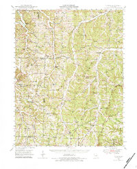
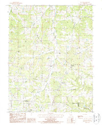
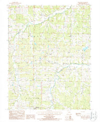
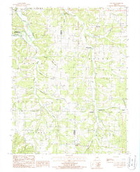
1981 Paydown
Maries County, MO
1987 Big Bend
Maries County, MO
1987 Brinktown
Maries County, MO
1987 Van Cleve
Maries County, MO
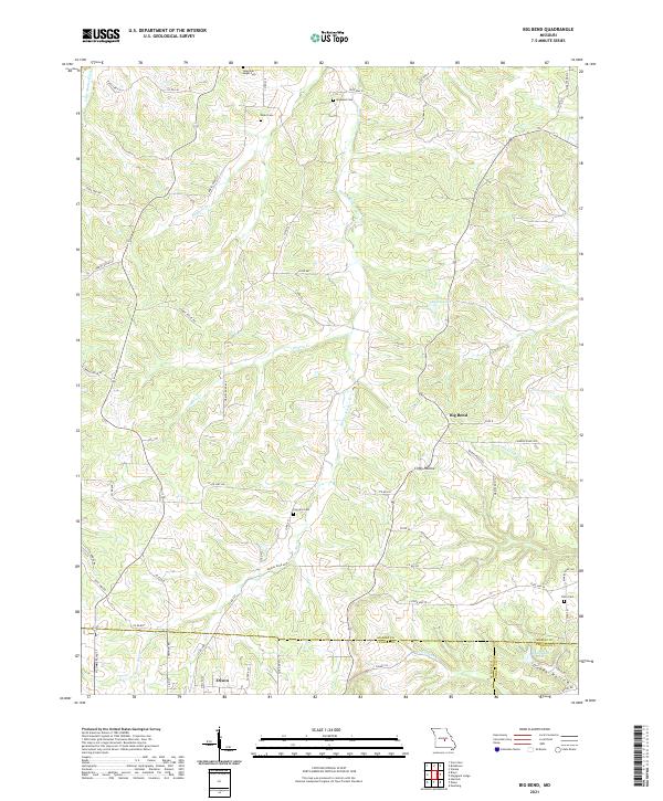
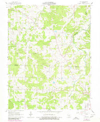
2021 Big Bend
Maries County, MO
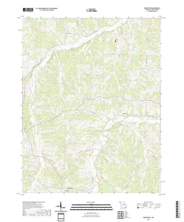
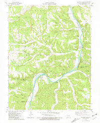
2021 Brinktown
Maries County, MO
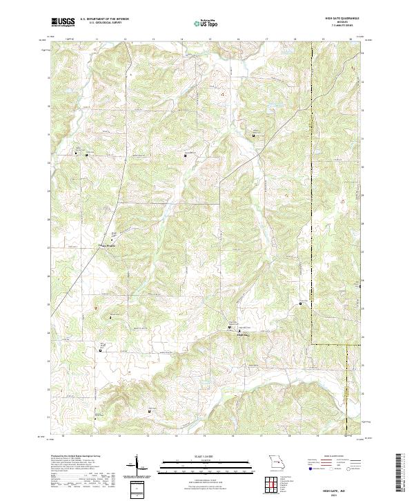
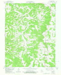
2021 High Gate
Maries County, MO
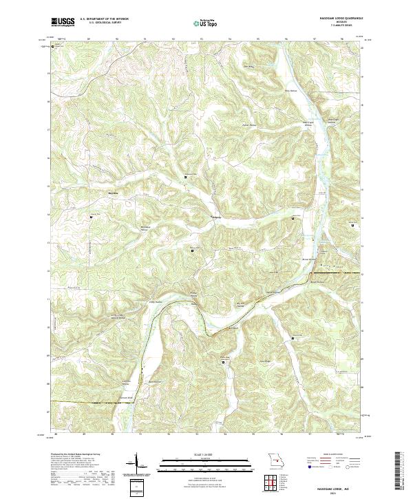
2021 Nagogami Lodge
Maries County, MO
2021 Paydown
Maries County, MO
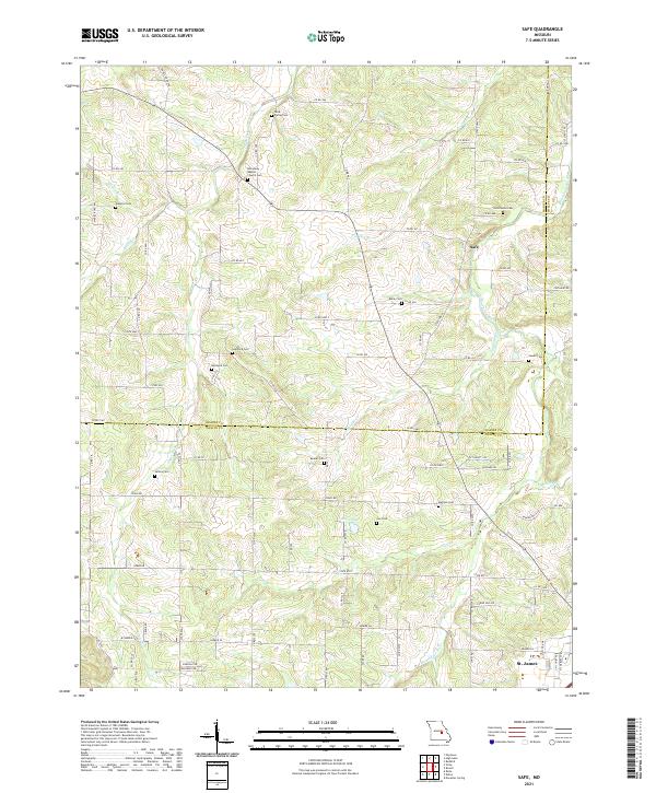
2021 Safe
Maries County, MO
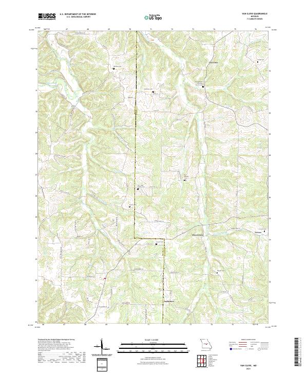
2021 Van Cleve
Maries County, MO
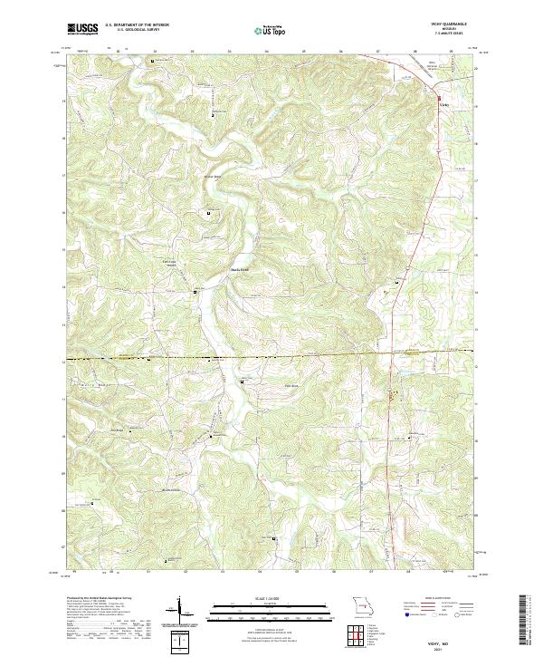
2021 Vichy
Maries County, MO