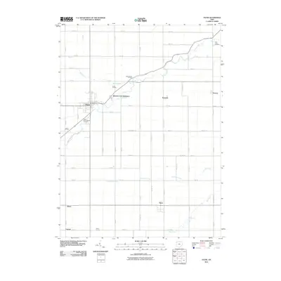
2010 Map of Payne
USGS Topo · Published 2010About this map
Payne serves as the primary hub in this corner of Paulding County, where the Payne Post Office remains a central landmark amidst a landscape defined by its grid of rural roads and meandering waterways. The drainage patterns of Flatrock Creek, Cunningham Creek, and Blue Creek create natural breaks in the orderly agricultural layout. Local genealogy is well-represented by several family and parish burial grounds, including the Saint Johns Catholic Cemetery near the main settlement and the outlying Snellenbarger Cemetery and Dealey Cemetery. Small, dispersed communities such as Worstville, Briceton, and Tipton illustrate the historic settlement density of the Ohio countryside during the early 21st century. The map also captures modern residential growth in the Riverview Park Subdivision, contrasting with the more established hamlets of Batson and Logtown.
Find a feature on this map
41 named features on this map. Tap any name to fly to it.
Don’t see what you’re looking for? This feature index may not catch every label — zoom into the map to look around manually.
Map Details
Editions of this 2010 Payne Map
This is the sole edition of this map. No revisions or reprints were ever made.
Other maps of this area

1914 · Van Wert
USGS Topo · 1:62,500

1914 · Paulding
USGS Topo · 1:62,500

1944 · Van Wert
USGS Topo · 1:62,500

1944 · Paulding
USGS Topo · 1:62,500

1953 · Fort Wayne
USGS Topo · 1:250,000

1953 · Muncie
USGS Topo · 1:250,000

1956 · Muncie
USGS Topo · 1:250,000

1956 · Fort Wayne
USGS Topo · 1:250,000

1958 · Woodburn North
USGS Topo · 1:24,000

1958 · Woodburn South
USGS Topo · 1:24,000