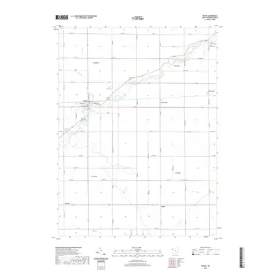
2019 Map of Payne
USGS Topo · Published 2019About this map
Payne serves as the primary hub in this corner of Paulding County, where the street grid of W Merrin St and W Townline St anchors the local community. The surrounding landscape is defined by a systematic township and range grid, predominantly agricultural, through which several meandering waterways pass. Flatrock Creek and its tributary Wildcat Cr cut across the northern sections, while Cunningham Cr and Blue Cr drain the southern reaches. Numerous small family and parish cemeteries, such as Snellenbarger Cem and Dealey Cem, are scattered across the township sections, offering significant value for genealogical research. Smaller rail or crossroads settlements including Worstville, Briceton, Batson, and Tipton mark the intersections of the county's rural road network, illustrating the distributed nature of early 21st-century rural Ohio life.
Find a feature on this map
48 named features on this map. Tap any name to fly to it.
Don’t see what you’re looking for? This feature index may not catch every label — zoom into the map to look around manually.
Map Details
Editions of this 2019 Payne Map
This is the sole edition of this map. No revisions or reprints were ever made.
Other maps of this area

1914 · Van Wert
USGS Topo · 1:62,500

1914 · Paulding
USGS Topo · 1:62,500

1944 · Van Wert
USGS Topo · 1:62,500

1944 · Paulding
USGS Topo · 1:62,500

1953 · Fort Wayne
USGS Topo · 1:250,000

1953 · Muncie
USGS Topo · 1:250,000

1956 · Muncie
USGS Topo · 1:250,000

1956 · Fort Wayne
USGS Topo · 1:250,000

1958 · Woodburn North
USGS Topo · 1:24,000

1958 · Woodburn South
USGS Topo · 1:24,000