Loading...
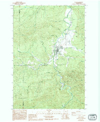
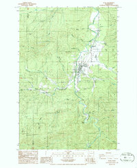
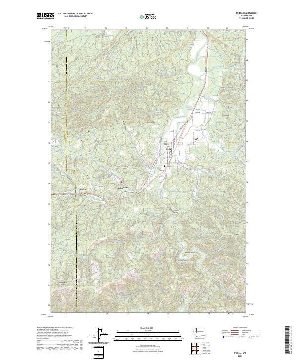
Loading map...1986 Map of Pe Ell
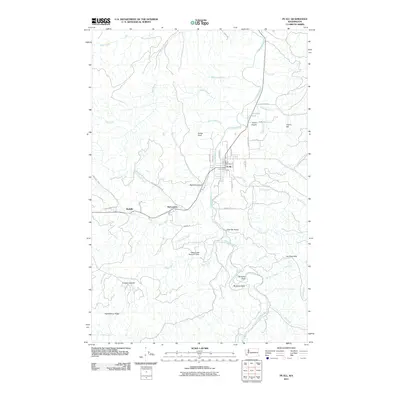
USGS Topo · Published 1994About this map
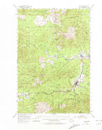
Pe Ell serves as the central hub of this mid-1980s survey, where the Chehalis River winds through the borderlands of Lewis and Pacific counties. The landscape is defined by its timber and water resources, with named drainages like Mullers Mill Creek and McCormick Creek feeding into the main river valley. To the west, the settlement of Walville sits near the headwaters of Rock Creek, while the southern reaches of the map are dominated by the elevation of Huckleberry Ridge.
Find a feature on this map
37 named features on this map. Tap any name to fly to it.
Don’t see what you’re looking for? This feature index may not catch every label — zoom into the map to look around manually.
Map Details
Date Portrayed1986
Date Published1994
PublisherU.S. Geological Survey
Map TypeTopographic
Scale1:24,000
Physical Dimensions22.1 x 27 inches
Editions of this 1986 Pe Ell Map
2 editions found
Historical Maps of Pe Ell Through Time
7 maps found
Featured Locations
Source Details
SourceU.S. Geological Survey
CopyrightPublic Domain