2022 Map of Peacock
USGS Topo · Published 2022About this map
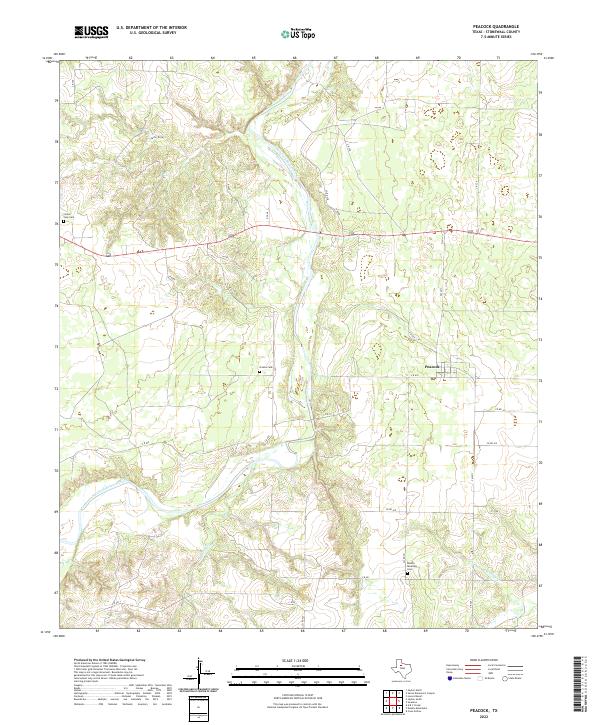
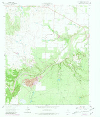
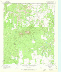
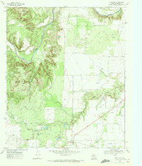
The Salt Fork Brazos River winds through this West Texas landscape, defining the local geography alongside drainage systems like Stinking Cr and Carter Draw. The settlement of Peacock serves as the primary hub for the region, situated north of several family and community landmarks. Researchers of local genealogy will find several distinct burial sites recorded across the quadrangle, including Double Mountain Cem to the south and Oriana Cem and Center View Cem further north and west. The modern road network is anchored by Highway 380 and FM 2211, connecting these quiet rural reaches of Stonewall County. This survey provides a contemporary view of the region's land use, where rugged watercourses contrast with the grid of county roads that service the surrounding ranching and agricultural lands.
Find a feature on this map
31 named features on this map. Tap any name to fly to it.
Don’t see what you’re looking for? This feature index may not catch every label — zoom into the map to look around manually.
Map Details
Editions of this 2022 Peacock Map
This is the sole edition of this map. No revisions or reprints were ever made.
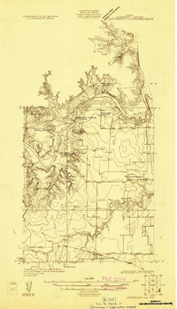
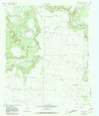
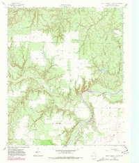
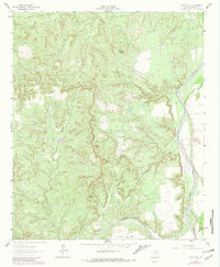
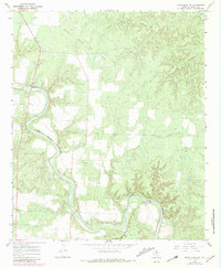
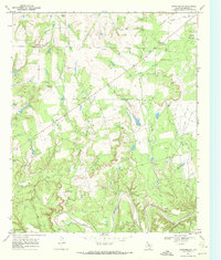
Historical Maps of Double Mountain Through Time
23 maps found
1925 Aspermont 4-a
Stonewall County, TX
1958 Lovers Resort
Stonewall County, TX
1958 Seven Diamond L Canyon
Stonewall County, TX
1962 Frog Mountain
Stonewall County, TX
1962 Kiowa Peak
Stonewall County, TX
1967 Kiowa Peak SW
Stonewall County, TX
1968 Coon Hollow
Stonewall County, TX
1968 Double Mountains
Stonewall County, TX
1968 Peacock
Stonewall County, TX
1968 Swenson
Stonewall County, TX
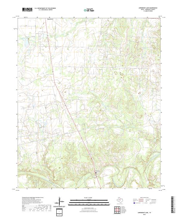
1969 Aspermont Lake
Stonewall County, TX
1969 Old Glory
Stonewall County, TX
2022 Aspermont Lake
Stonewall County, TX
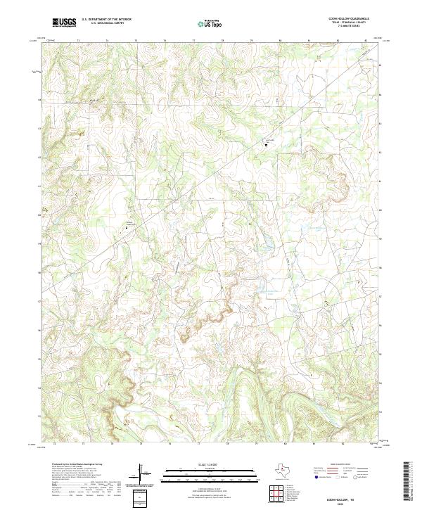
2022 Coon Hollow
Stonewall County, TX

2022 Double Mountains
Stonewall County, TX
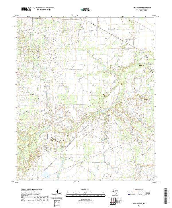
2022 Frog Mountain
Stonewall County, TX
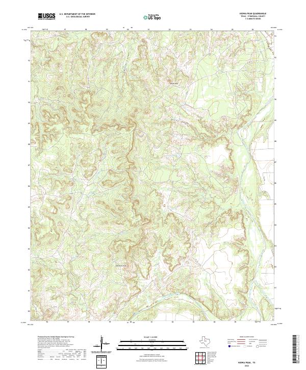
2022 Kiowa Peak
Stonewall County, TX
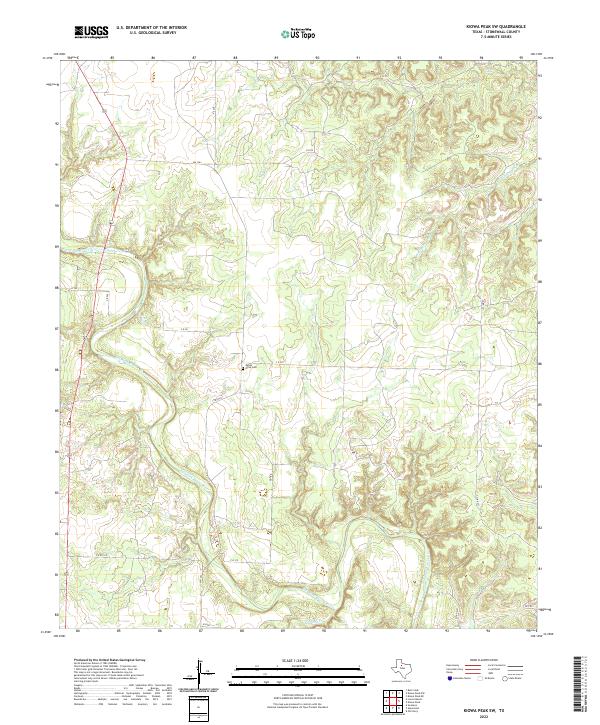
2022 Kiowa Peak SW
Stonewall County, TX
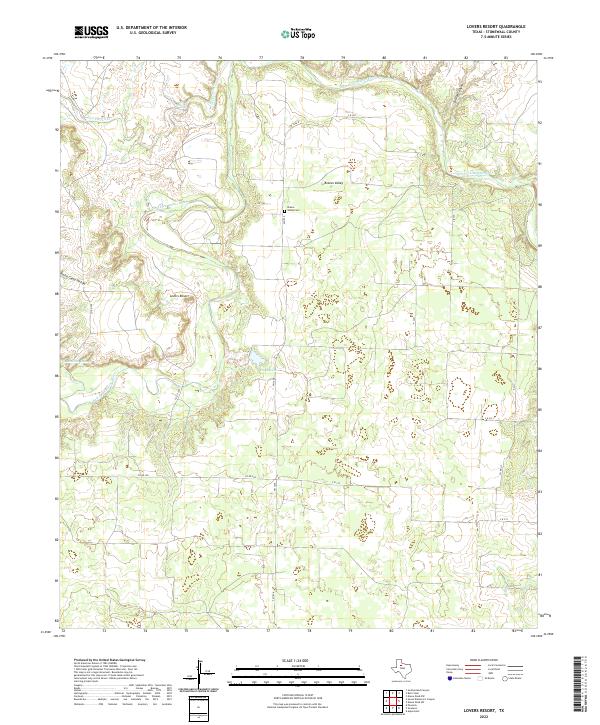
2022 Lovers Resort
Stonewall County, TX
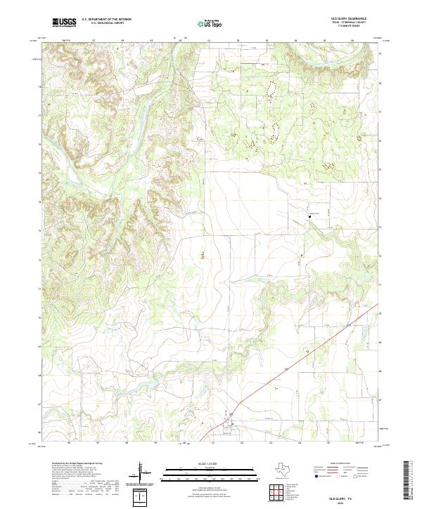
2022 Old Glory
Stonewall County, TX
2022 Peacock
Stonewall County, TX
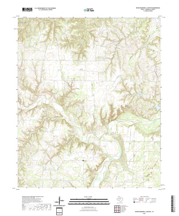
2022 Seven Diamond L Canyon
Stonewall County, TX
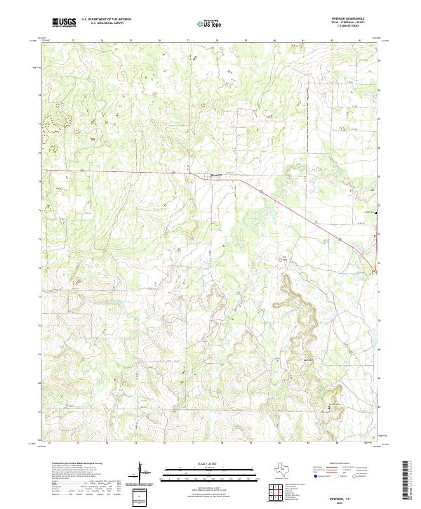
2022 Swenson
Stonewall County, TX