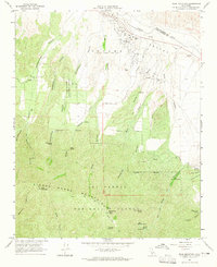
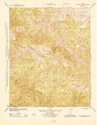
1964 Map of Peak Mountain
USGS Topo · Published 1965About this map
The Cuyama Valley floor meets the rising slopes of the Sierra Madre Mountains in this mid-1960s study of the Santa Barbara and San Luis Obispo county line. Large-scale land ownership is evidenced by the prominent label for the (Heirs of Cesario Lataillade), a nod to the region's ranching heritage and Spanish land grant history near Caliente Ranch. The terrain is defined by a dense network of drainages including Schoolhouse Canyon, Richardson Canyon, and Davis Canyon that flow toward the Cuyama River.
Find a feature on this map
45 named features on this map. Tap any name to fly to it.
Don’t see what you’re looking for? This feature index may not catch every label — zoom into the map to look around manually.
Map Details
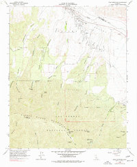
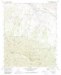
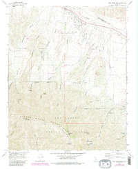
Editions of this 1964 Peak Mountain Map
4 editions found
Other maps of this area

1902 · Santa Ynez
USGS Topo · 1:125,000

1905 · Santa Ynez
USGS Topo · 1:125,000

1912 · McKittrick
USGS Topo · 1:125,000

1941 · Caliente Mountain
USGS Topo · 1:62,500

1941 · McPherson Peak
USGS Topo · 1:62,500

1942 · Caliente Mtn
USGS Topo · 1:62,500

1943 · McPherson Peak
USGS Topo · 1:62,500

1943 · Caliente Mtn.
USGS Topo · 1:62,500

1943 · Cuyama Ranch
USGS Topo · 1:31,680
1944 · Salisbury Potrero
USGS Topo · 1:31,680