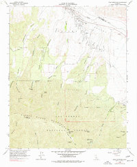
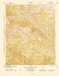
1964 Map of Peak Mountain
USGS Topo · Published 1977About this map
The Sierra Madre Mountains dominate this 1964 survey of the California back country, where the steep canyon terrain transitions into the Cuyama Valley along the Cuyama River. This landscape is defined by its network of historic water sources and early ranching footprints, notably the Caliente Ranch and the large landholding labeled Cuyama (Heirs of Cesario Lataillade). The map provides a detailed view of mid-century infrastructure within the Los Padres National Forest, including numerous water features like Salt Well, Richardson Spring, and the Upper Hog Pen Spring.
Find a feature on this map
47 named features on this map. Tap any name to fly to it.
Don’t see what you’re looking for? This feature index may not catch every label — zoom into the map to look around manually.
Map Details
Editions of this 1964 Peak Mountain Map
4 editions found
Other maps of this area

1902 · Santa Ynez
USGS Topo · 1:125,000

1905 · Santa Ynez
USGS Topo · 1:125,000

1912 · McKittrick
USGS Topo · 1:125,000

1941 · Caliente Mountain
USGS Topo · 1:62,500

1941 · McPherson Peak
USGS Topo · 1:62,500

1942 · Caliente Mtn
USGS Topo · 1:62,500

1943 · McPherson Peak
USGS Topo · 1:62,500

1943 · Caliente Mtn.
USGS Topo · 1:62,500

1943 · Cuyama Ranch
USGS Topo · 1:31,680
1944 · Salisbury Potrero
USGS Topo · 1:31,680