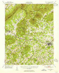
1950 Map of Peaks of Otter
USGS Topo · Published 1955About this map
Bedford sits at the eastern foot of the Blue Ridge, serving as a hub for the rail-and-valley economy of the mid-20th century. The Norfolk and Western Railway cuts through the center of the landscape, linking the county seat to smaller agricultural and transit communities like Thaxton, Irving, and Montvale. This era shows the early intersection of traditional rural life and modern transit, as the Blue Ridge Parkway and the Appalachian Trail wind along the high ridges near Sharp Top Mtn and Flat Top Mtn, while older local industry is still evidenced by scattered sites like Penicks Mill and Joppa Mill. For genealogists and local historians, the sheet preserves the locations of numerous community anchors, including Thomas Chapel, Mt Olivet Sch & Cem, and the small Bufords Airport near the Botetourt County line.
Find a feature on this map
91 named features on this map. Tap any name to fly to it.
Don’t see what you’re looking for? This feature index may not catch every label — zoom into the map to look around manually.
Map Details
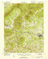
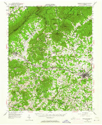
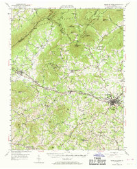
Editions of this 1950 Peaks of Otter Map
5 editions found

Other maps of this area

1890 · Roanoke
USGS Topo · 1:125,000

1891 · Roanoke
USGS Topo · 1:125,000

1892 · Lynchburg
USGS Topo · 1:125,000

1894 · Natural Bridge
USGS Topo · 1:125,000

1894 · Lexington
USGS Topo · 1:125,000

1894 · Natural Bridge
USGS Topo · 1:62,500

1907 · Natural Bridge Special
USGS Topo · 1:62,500

1913 · Eagle Rock
USGS Topo · 1:48,000

1915 · Eagle Rock
USGS Topo · 1:62,500

1929 · Roanoke
USGS Topo · 1:48,000