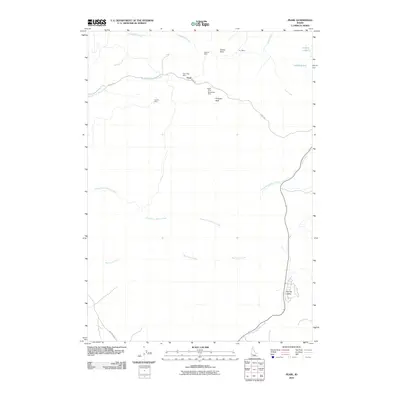
2010 Map of Pearl
USGS Topo · Published 2010About this map
Pearl and the surrounding high desert of the Boise Basin foothills appear here in a state of transition during the early 21st century. This area, historically defined by its late 19th-century mining boom, still retains numerous physical markers of its industrial past. The northern portion of the map is concentrated with mining claims and named landmarks such as the Gem State Mine, Lincoln Mine, and Monroe Mine. These sites are clustered near prominent elevations like Prospect Peak and Crown Point, illustrating the geological focus of the original settlement.
Find a feature on this map
21 named features on this map. Tap any name to fly to it.
Don’t see what you’re looking for? This feature index may not catch every label — zoom into the map to look around manually.
Map Details
Editions of this 2010 Pearl Map
This is the sole edition of this map. No revisions or reprints were ever made.
Other maps of this area

1892 · Boise
USGS Topo · 1:125,000

1897 · Boise
USGS Topo · 1:125,000

1953 · Eagle
USGS Topo · 1:24,000

1953 · Star
USGS Topo · 1:24,000

1953 · Montour
USGS Topo · 1:62,500

1954 · Boise North
USGS Topo · 1:24,000

1954 · Boise
USGS Topo · 1:62,500

1955 · Boise
USGS Topo · 1:250,000

1957 · Cartwright Canyon
USGS Topo · 1:24,000

1957 · Horseshoe Bend
USGS Topo · 1:24,000