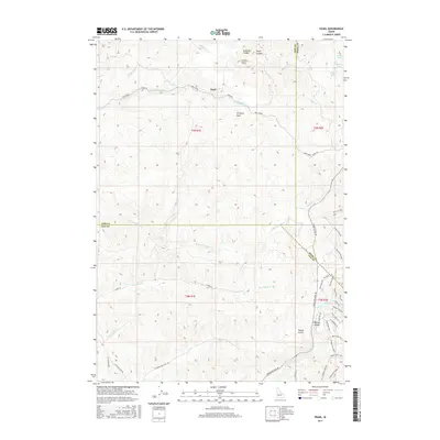
2017 Map of Pearl
USGS Topo · Published 2017About this map
The high desert canyons and peaks of the Boise Mountains define this area northwest of Boise, where the historic mining settlement of Pearl sits along Pearl Road. The terrain is characterized by deep drainages like Arkansas Canyon and Deep Canyon, with prominent overlooks at Crown Point and Prospect Peak. To the southeast, the residential expansion of Spring Valley begins to intersect with the natural landscape of Woods Gulch and Spring Valley Cr. The map shows a complex network of trails and rural roads, including the evocatively named Bovine Nirvana and Whiptail Trail, winding through the foothills. Water resources are marked by the presence of Siphon Lakes and Home Lake in the northeastern corner, providing a contrast to the seasonal creek beds like S Fork Willow Cr and Alkali Cr that carve through the surrounding ridges.
Find a feature on this map
50 named features on this map. Tap any name to fly to it.
Don’t see what you’re looking for? This feature index may not catch every label — zoom into the map to look around manually.
Map Details
Editions of this 2017 Pearl Map
This is the sole edition of this map. No revisions or reprints were ever made.
Other maps of this area

1892 · Boise
USGS Topo · 1:125,000

1897 · Boise
USGS Topo · 1:125,000

1953 · Eagle
USGS Topo · 1:24,000

1953 · Star
USGS Topo · 1:24,000

1953 · Montour
USGS Topo · 1:62,500

1954 · Boise North
USGS Topo · 1:24,000

1954 · Boise
USGS Topo · 1:62,500

1955 · Boise
USGS Topo · 1:250,000

1957 · Cartwright Canyon
USGS Topo · 1:24,000

1957 · Horseshoe Bend
USGS Topo · 1:24,000