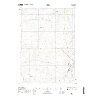
2020 Map of Pearl
USGS Topo · Published 2020About this map
The high country north of Eagle is defined by the meeting of Gem, Boise, and Ada counties, where the community of Pearl sits along its namesake Pearl Rd. This transition between the Boise River valley and the southern mountains is deeply incised by drainages such as N Fork Willow Cr and Big Gulch Cr. The landscape transitions from suburban residential expansion near Spring Valley to more specialized recreation and infrastructure, including the Bovine Nirvana Shooting Range and Sands Airport. High points like Prospect Peak and Crown Point provide overlooks into Arkansas Canyon and Deep Canyon. This 2020 record captures a mix of legacy ranching roads and newer development patterns, particularly along Horseshoe Bend Rd, where trails like Baun's Eye Trail and Broken Horn Trail weave through the ridges.
Find a feature on this map
52 named features on this map. Tap any name to fly to it.
Don’t see what you’re looking for? This feature index may not catch every label — zoom into the map to look around manually.
Map Details
Editions of this 2020 Pearl Map
This is the sole edition of this map. No revisions or reprints were ever made.
Other maps of this area

1892 · Boise
USGS Topo · 1:125,000

1897 · Boise
USGS Topo · 1:125,000

1953 · Eagle
USGS Topo · 1:24,000

1953 · Star
USGS Topo · 1:24,000

1953 · Montour
USGS Topo · 1:62,500

1954 · Boise North
USGS Topo · 1:24,000

1954 · Boise
USGS Topo · 1:62,500

1955 · Boise
USGS Topo · 1:250,000

1957 · Cartwright Canyon
USGS Topo · 1:24,000

1957 · Horseshoe Bend
USGS Topo · 1:24,000