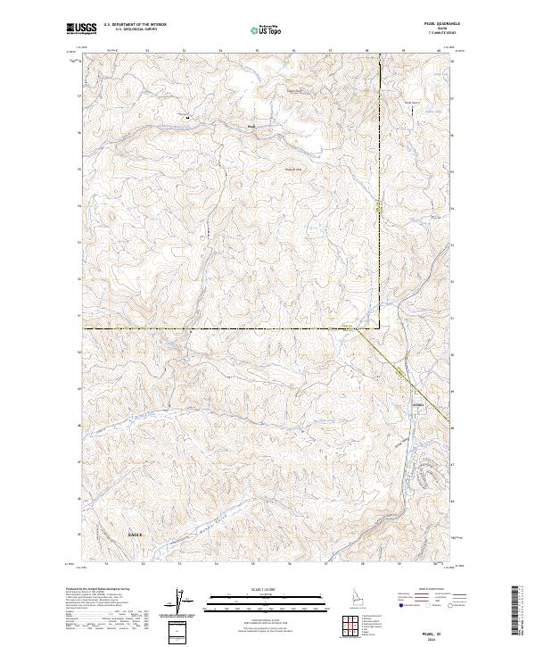
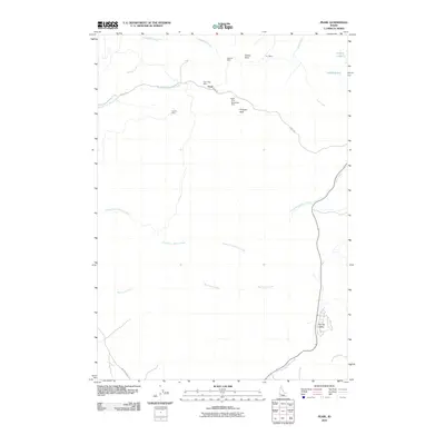
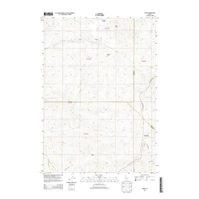
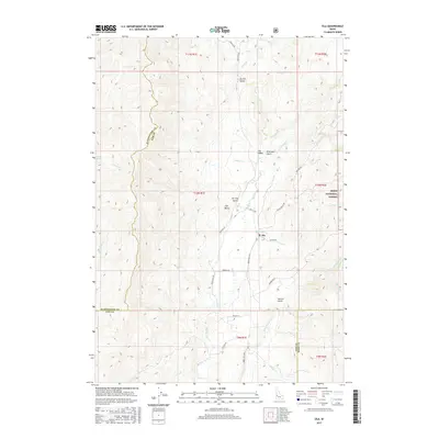
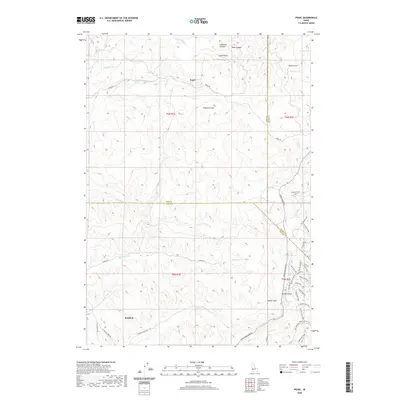
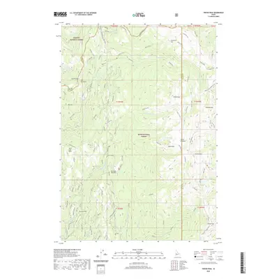
2024 Map of Pearl
USGS Topo · Published 2024About this map
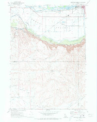
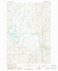
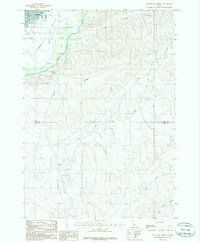
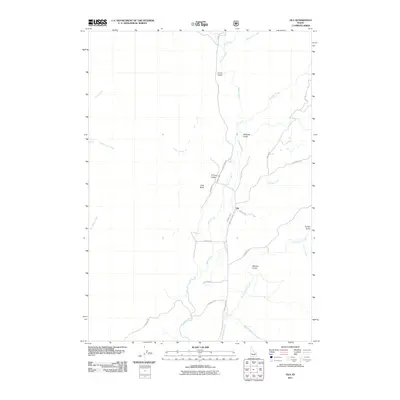
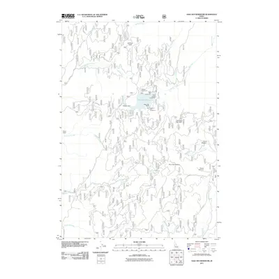
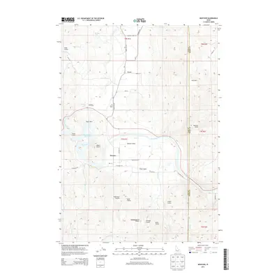
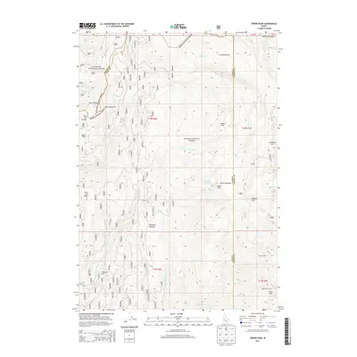
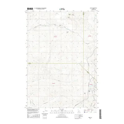
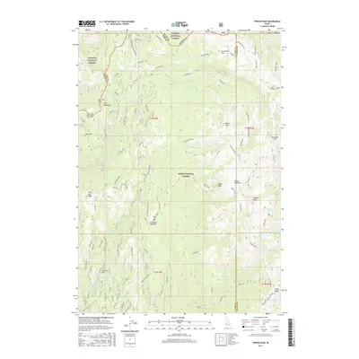
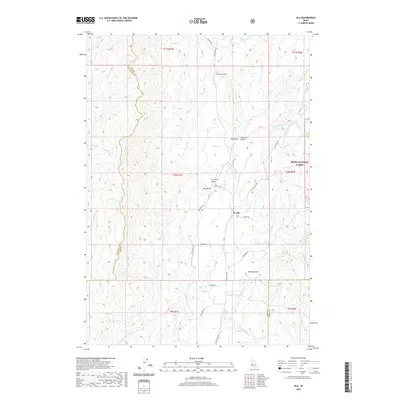
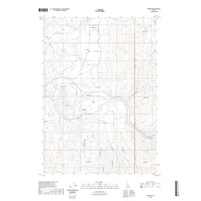
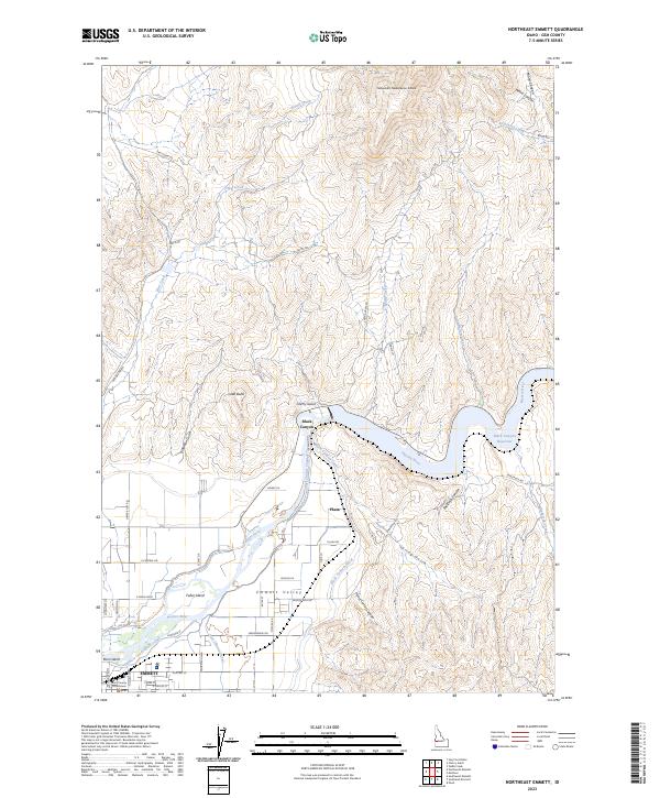
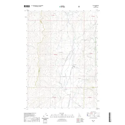
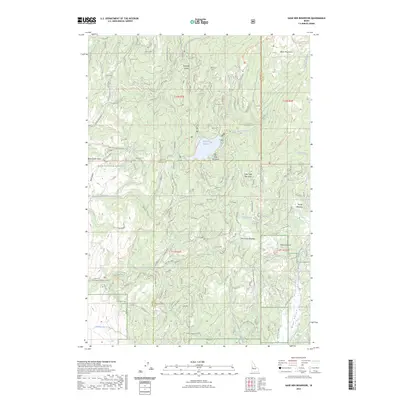
The Pearl settlement area, situated near the intersection of the Gem and Boise County lines, highlights a landscape where historic mining and ranching roots meet modern residential development. Central to the map is the Pearl Cem, a significant marker for genealogical research in this high-desert terrain. The northern portion of the quadrangle is defined by prominent elevations like Crown Point and Prospect Peak, which overlook the drainages of the North Fork Willow Creek and Schiller Creek.
Find a feature on this map
42 named features on this map. Tap any name to fly to it.
Don’t see what you’re looking for? This feature index may not catch every label — zoom into the map to look around manually.
Map Details
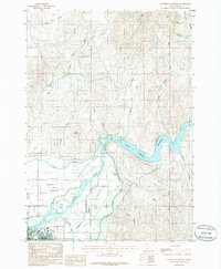
Editions of this 2024 Pearl Map
This is the sole edition of this map. No revisions or reprints were ever made.
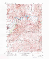
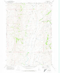
Historical Maps of Eagle Through Time
82 maps found
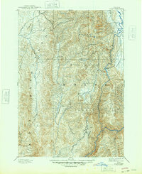
1894 Squaw Creek
Gem County, ID
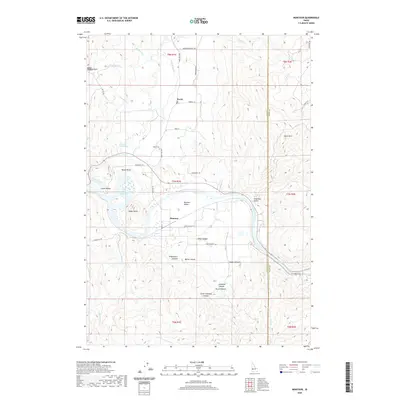
1953 Montour
Gem County, ID

1970 Dodson Pass
Gem County, ID
1970 Ola
Gem County, ID
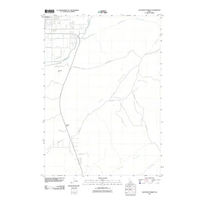
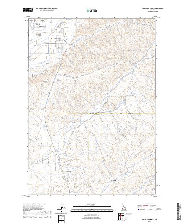
1970 Southwest Emmett
Gem County, ID
1970 Squaw Butte
Gem County, ID
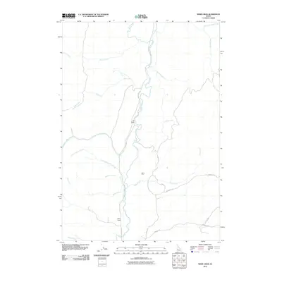
1970 Webb Creek
Gem County, ID
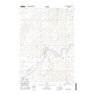
1971 Northwest Emmett
Gem County, ID
1985 Montour
Gem County, ID
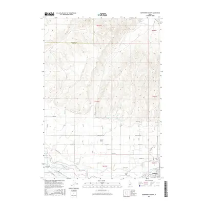
1985 Northeast Emmett
Gem County, ID
1985 Pearl
Gem County, ID
1985 Sage Hen Reservoir
Gem County, ID
1985 Southeast Emmett
Gem County, ID
1985 Tripod Peak
Gem County, ID
2004 Tripod Peak
Gem County, ID
2010 Cherry Gulch
Gem County, ID
2010 Montour
Gem County, ID
2010 Northeast Emmett
Gem County, ID
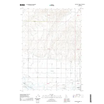
2010 Northwest Emmett
Gem County, ID
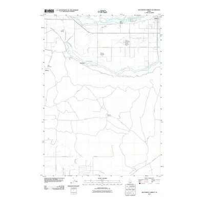
2010 Pearl
Gem County, ID
2010 Southeast Emmett
Gem County, ID
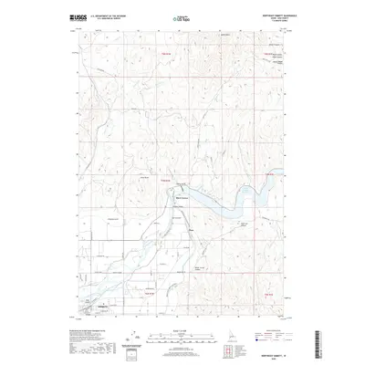
2010 Southwest Emmett
Gem County, ID
2010 Webb Creek
Gem County, ID

2011 Dodson Pass
Gem County, ID
2011 Ola
Gem County, ID
2011 Sage Hen Reservoir
Gem County, ID
2011 Tripod Peak
Gem County, ID
2013 Cherry Gulch
Gem County, ID
2013 Dodson Pass
Gem County, ID
2013 Montour
Gem County, ID
2013 Northeast Emmett
Gem County, ID
2013 Northwest Emmett
Gem County, ID
2013 Ola
Gem County, ID
2013 Pearl
Gem County, ID
2013 Sage Hen Reservoir
Gem County, ID
2013 Southeast Emmett
Gem County, ID
2013 Southwest Emmett
Gem County, ID
2013 Tripod Peak
Gem County, ID
2013 Webb Creek
Gem County, ID
2017 Cherry Gulch
Gem County, ID
2017 Dodson Pass
Gem County, ID
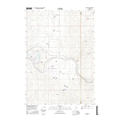
2017 Montour
Gem County, ID
2017 Northeast Emmett
Gem County, ID
2017 Northwest Emmett
Gem County, ID
2017 Ola
Gem County, ID
2017 Pearl
Gem County, ID
2017 Sage Hen Reservoir
Gem County, ID
2017 Southeast Emmett
Gem County, ID
2017 Southwest Emmett
Gem County, ID
2017 Tripod Peak
Gem County, ID
2017 Webb Creek
Gem County, ID
2020 Cherry Gulch
Gem County, ID
2020 Dodson Pass
Gem County, ID
2020 Montour
Gem County, ID
2020 Northeast Emmett
Gem County, ID
2020 Northwest Emmett
Gem County, ID
2020 Ola
Gem County, ID
2020 Pearl
Gem County, ID
2020 Sage Hen Reservoir
Gem County, ID
2020 Southeast Emmett
Gem County, ID
2020 Southwest Emmett
Gem County, ID
2020 Tripod Peak
Gem County, ID
2020 Webb Creek
Gem County, ID
2023 Cherry Gulch
Gem County, ID
2023 Dodson Pass
Gem County, ID
2023 Montour
Gem County, ID
2023 Northeast Emmett
Gem County, ID
2023 Ola
Gem County, ID
2023 Sage Hen Reservoir
Gem County, ID
2023 Southeast Emmett
Gem County, ID
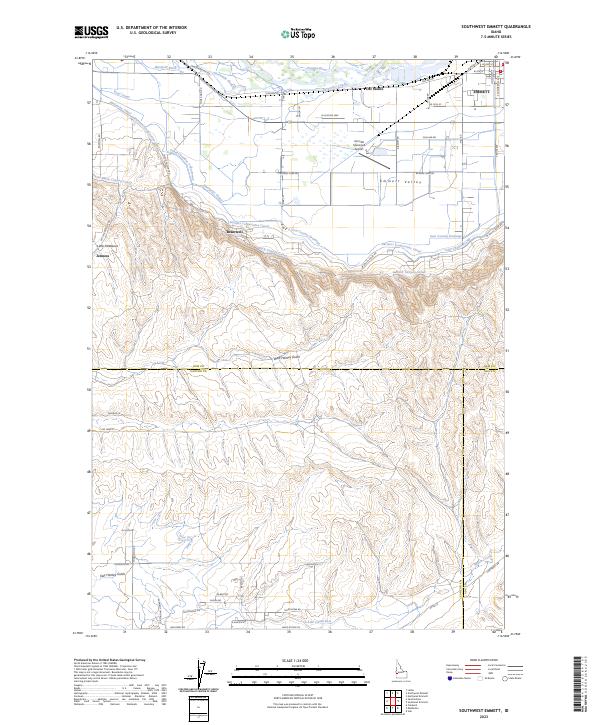
2023 Southwest Emmett
Gem County, ID
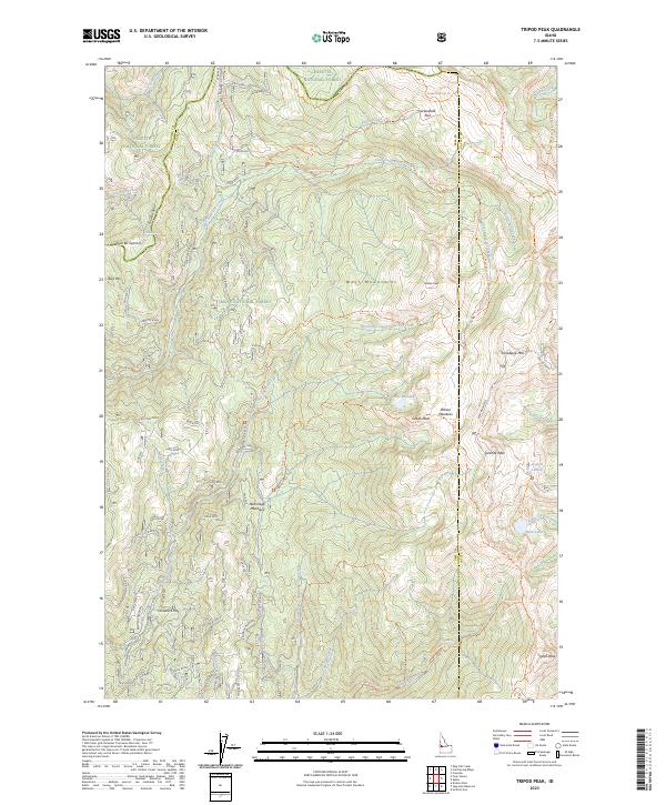
2023 Tripod Peak
Gem County, ID
2023 Webb Creek
Gem County, ID
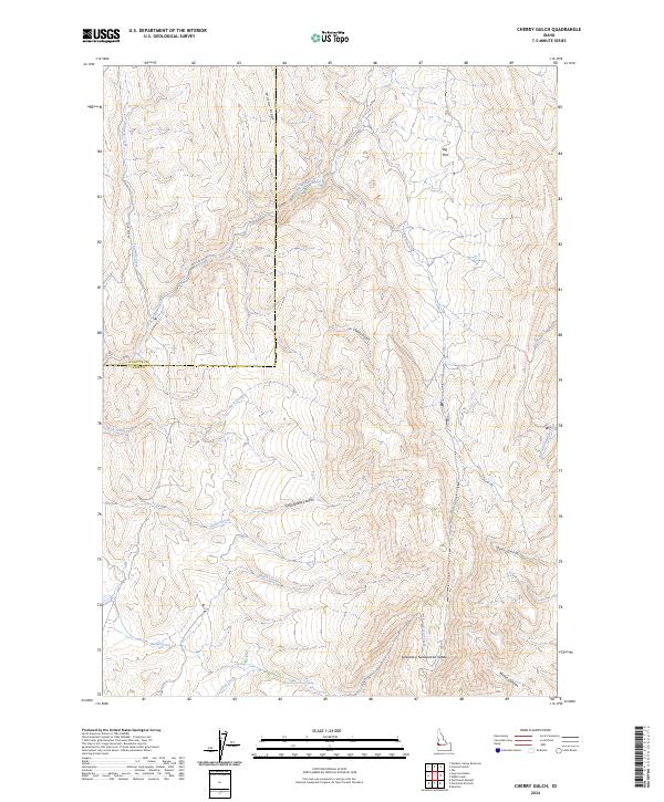
2024 Cherry Gulch
Gem County, ID
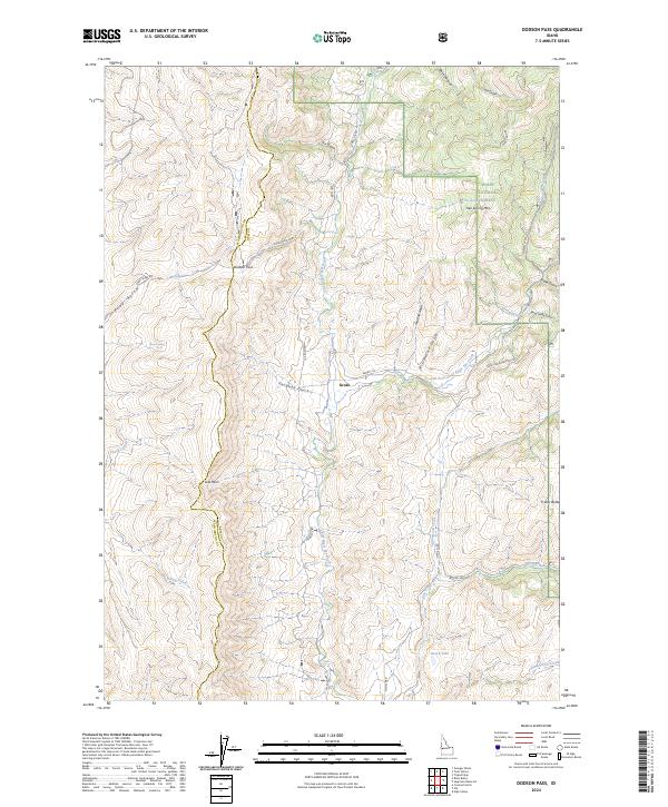
2024 Dodson Pass
Gem County, ID
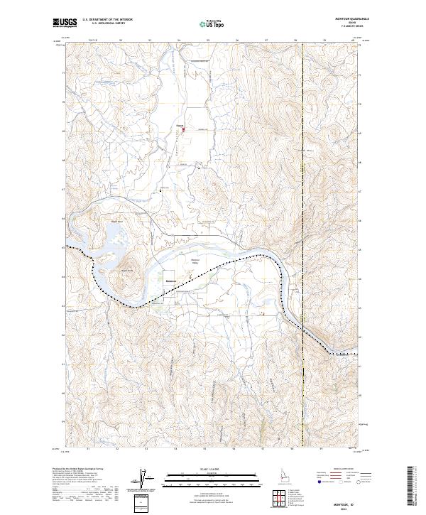
2024 Montour
Gem County, ID
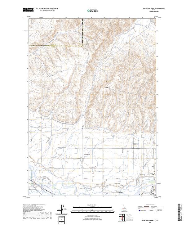
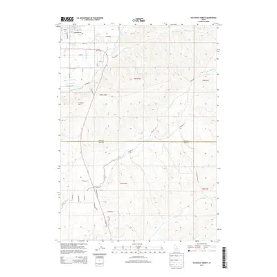
2024 Northwest Emmett
Gem County, ID
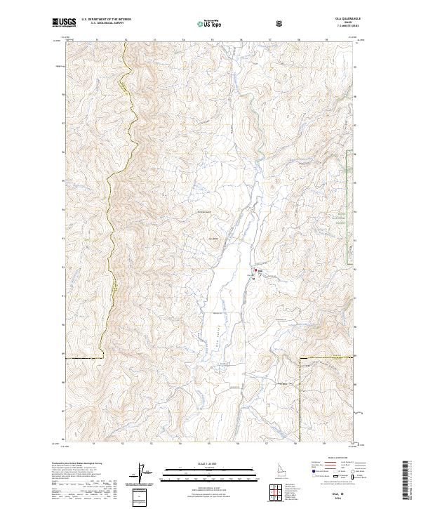
2024 Ola
Gem County, ID
2024 Pearl
Gem County, ID
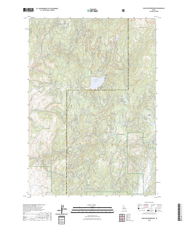
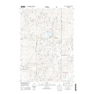
2024 Sage Hen Reservoir
Gem County, ID
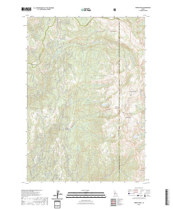
2024 Tripod Peak
Gem County, ID
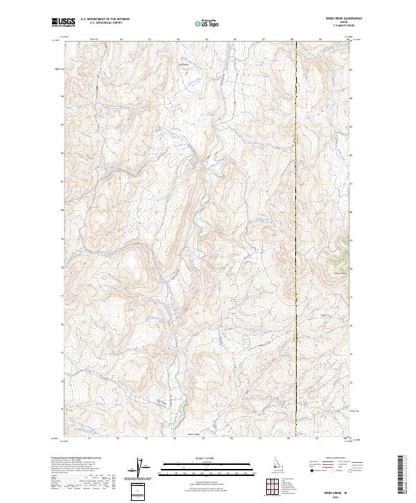
2024 Webb Creek
Gem County, ID