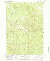
1967 Map of Pearson Ridge
USGS Topo · Published 1985About this map
Umatilla National Forest encompasses the entirety of this landscape, which is defined by a complex network of high-elevation meadows and drainage basins. Remote administrative and seasonal outposts like the Pearson Guard Station and a nearby campground near Pearson Ridge mark the few points of established human presence in the mid-1960s. The terrain is a labyrinth of water sources and creek forks, including Hidaway Creek and the North Fork and South Fork of Cable Creek.
Find a feature on this map
34 named features on this map. Tap any name to fly to it.
Don’t see what you’re looking for? This feature index may not catch every label — zoom into the map to look around manually.
Map Details
Editions of this 1967 Pearson Ridge Map
2 editions found

Other maps of this area

1951 · Dale
USGS Topo · 1:62,500

1951 · Desolation Butte
USGS Topo · 1:62,500

1953 · Pendleton
USGS Topo · 1:250,000

1955 · Canyon City
USGS Topo · 1:250,000

1956 · Pendleton
USGS Topo · 1:250,000

1959 · Canyon City
USGS Topo · 1:250,000

1967 · Ukiah SE
USGS Topo · 1:24,000

1967 · Tower Mtn
USGS Topo · 1:24,000

1967 · Sullivan Gulch
USGS Topo · 1:24,000

1967 · Lehman Springs
USGS Topo · 1:24,000