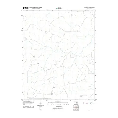
2010 Map of Pearsonia NW
USGS Topo · Published 2010About this map
Possum Trot Creek and Smith Creek define the northern drainage of this section of Osage County, where the landscape is marked by an extensive network of tributaries feeding into the Arkansas River basin. The terrain is characterized by its hydrological features, specifically a series of small impoundments including Oknoname 113123 Dam and Oknoname 113125 Dam. These numbered dams suggest a managed water system for local ranching or agricultural use in a region primarily accessed by rural corridors like Arrow Rd and Co Rd 4070.
Find a feature on this map
17 named features on this map. Tap any name to fly to it.
Don’t see what you’re looking for? This feature index may not catch every label — zoom into the map to look around manually.
Map Details
Editions of this 2010 Pearsonia NW Map
This is the sole edition of this map. No revisions or reprints were ever made.
Other maps of this area

1885 · Sedan
USGS Topo · 1:125,000

1889 · Burden
USGS Topo · 1:125,000

1889 · Sedan
USGS Topo · 1:125,000

1909 · Pawhuska
USGS Topo · 1:125,000

1910 · Pawhuska
USGS Topo · 1:125,000

1916 · Foraker
USGS Topo · 1:62,500

1955 · Wichita
USGS Topo · 1:250,000

1955 · Enid
USGS Topo · 1:250,000

1958 · Enid
USGS Topo · 1:250,000

1958 · Wichita
USGS Topo · 1:250,000