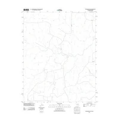
2012 Map of Pearsonia NW
USGS Topo · Published 2012About this map
The northern reaches of Osage County are defined here by a network of drainage basins feeding into several prominent waterways. In the north, Possum Trot Cr and Smith Cr traverse the terrain, while the central portion of the landscape is dominated by the winding path of Buck Cr and its tributary, S Buck Cr. The rural character of this region is underscored by a sparse grid of roads, including Co Rd 4720 and D0010 Rd, which navigate around numerous small stock ponds and creek bends. To the south, Dog Cr, Pond Cr, and Dry Cr establish a intricate hydrological pattern characteristic of this portion of Oklahoma's prairie. This 2012 survey illustrates the enduring agricultural and ranching layout of the land, where named creeks serve as primary geographic anchors between occasional county roads like N3890 Rd and D3685 Rd.
Find a feature on this map
12 named features on this map. Tap any name to fly to it.
Don’t see what you’re looking for? This feature index may not catch every label — zoom into the map to look around manually.
Map Details
Editions of this 2012 Pearsonia NW Map
This is the sole edition of this map. No revisions or reprints were ever made.
Other maps of this area

1885 · Sedan
USGS Topo · 1:125,000

1889 · Burden
USGS Topo · 1:125,000

1889 · Sedan
USGS Topo · 1:125,000

1909 · Pawhuska
USGS Topo · 1:125,000

1910 · Pawhuska
USGS Topo · 1:125,000

1916 · Foraker
USGS Topo · 1:62,500

1955 · Wichita
USGS Topo · 1:250,000

1955 · Enid
USGS Topo · 1:250,000

1958 · Enid
USGS Topo · 1:250,000

1958 · Wichita
USGS Topo · 1:250,000