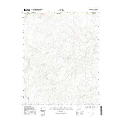
2016 Map of Pearsonia NW
USGS Topo · Published 2016About this map
Oklahoma's northern border with Kansas defines the upper edge of this landscape, where the rolling prairies of Osage County meet the southern edge of Chautauqua County. The terrain is deeply etched by a network of drainage systems, most notably Smith Creek and the curiously named Possum Trot Creek in the north. This area is characterized by its rural infrastructure, with a grid of county roads like Co Rd 4070 and Co Rd 4201 providing access through the winding valleys. Further south, the map tracks the headwaters and branches of Buck Creek and S Buck Creek, alongside Dog Creek, revealing a complex watershed that has long dictated the placement of ranch roads and property boundaries in this open country.
Find a feature on this map
16 named features on this map. Tap any name to fly to it.
Don’t see what you’re looking for? This feature index may not catch every label — zoom into the map to look around manually.
Map Details
Editions of this 2016 Pearsonia NW Map
This is the sole edition of this map. No revisions or reprints were ever made.
Other maps of this area

1885 · Sedan
USGS Topo · 1:125,000

1889 · Burden
USGS Topo · 1:125,000

1889 · Sedan
USGS Topo · 1:125,000

1909 · Pawhuska
USGS Topo · 1:125,000

1910 · Pawhuska
USGS Topo · 1:125,000

1916 · Foraker
USGS Topo · 1:62,500

1955 · Wichita
USGS Topo · 1:250,000

1955 · Enid
USGS Topo · 1:250,000

1958 · Enid
USGS Topo · 1:250,000

1958 · Wichita
USGS Topo · 1:250,000