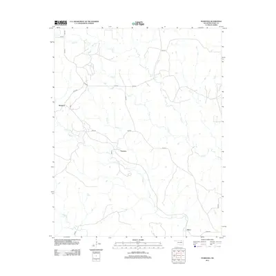
2012 Map of Pearsonia
USGS Topo · Published 2012About this map
Pearsonia serves as the central focal point of this Osage County landscape, situated where the drainages of N Bird Cr and Hickory Cr converge. The terrain is defined by a dense network of seasonal and perennial waterways that carve through the Oklahoma prairie, including Sand Cr in the north and the winding course of Bird Cr to the south. Small settlements like Blackland and Myers are connected by a grid of county roads such as Co RD-4450 and d3739 RD, illustrating the rural transition of this ranching and oil-rich region in the early 21st century. The map detail highlights the sparse but deliberate human footprint, showing how isolated homesteads and ranch roads navigate the intricate local hydrology of Dry Cr and Middle Bird Cr.
Find a feature on this map
26 named features on this map. Tap any name to fly to it.
Don’t see what you’re looking for? This feature index may not catch every label — zoom into the map to look around manually.
Map Details
Editions of this 2012 Pearsonia Map
This is the sole edition of this map. No revisions or reprints were ever made.
Other maps of this area

1909 · Pawhuska
USGS Topo · 1:125,000

1910 · Pawhuska
USGS Topo · 1:125,000

1916 · Foraker
USGS Topo · 1:62,500

1932 · Fairfax
USGS Topo · 1:62,500

1955 · Enid
USGS Topo · 1:250,000

1958 · Enid
USGS Topo · 1:250,000

1960 · Nanos
USGS Topo · 1:24,000

1960 · Pawhuska
USGS Topo · 1:24,000
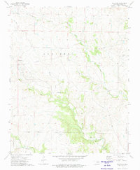
1973 · Pearsonia
USGS Topo · 1:24,000
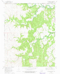
1973 · Pearsonia NE
USGS Topo · 1:24,000