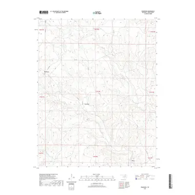
2018 Map of Pearsonia
USGS Topo · Published 2018About this map
Pearsonia and the small settlement of Blackland occupy this portion of Osage County, where the landscape is defined by the complex drainage network of the Bird Creek watershed. This 2018 survey reveals a terrain carved by numerous tributaries, including N Bird Cr, Hickory Cr, and Dry Cr, which create a series of ridges and valleys across the prairie. The settlement pattern is sparse, largely dictated by the section lines of the Public Land Survey System, as seen in the grid of county roads like Co RD 4650 and Co RD 4450 that connect these remote outposts. Near the southern edge, Myers sits close to the banks of Bird Cr, illustrating how early habitation in this region often clustered near reliable water sources such as Sand Cr and Middle Bird Cr.
Find a feature on this map
25 named features on this map. Tap any name to fly to it.
Don’t see what you’re looking for? This feature index may not catch every label — zoom into the map to look around manually.
Map Details
Editions of this 2018 Pearsonia Map
This is the sole edition of this map. No revisions or reprints were ever made.
Other maps of this area

1909 · Pawhuska
USGS Topo · 1:125,000

1910 · Pawhuska
USGS Topo · 1:125,000

1916 · Foraker
USGS Topo · 1:62,500

1932 · Fairfax
USGS Topo · 1:62,500

1955 · Enid
USGS Topo · 1:250,000

1958 · Enid
USGS Topo · 1:250,000

1960 · Nanos
USGS Topo · 1:24,000

1960 · Pawhuska
USGS Topo · 1:24,000
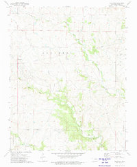
1973 · Pearsonia
USGS Topo · 1:24,000
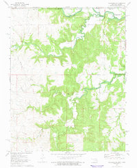
1973 · Pearsonia NE
USGS Topo · 1:24,000