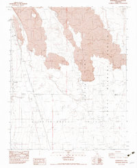
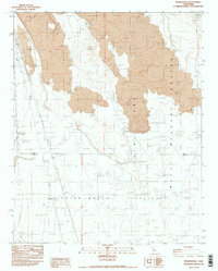
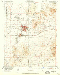
1982 Map of Pearsonville
USGS Topo · Published 1983About this map
Indian Wells Valley and the rugged volcanic landscape of the Naval Weapons Center dominate this 1982 provisional survey. The terrain is defined by extensive Lava flows and broad washes leading toward the arid bed of China Lake. Human presence is concentrated near the western edge along the RR line, where the small settlements of Pearsonville and Linnie are situated.
Find a feature on this map
27 named features on this map. Tap any name to fly to it.
Don’t see what you’re looking for? This feature index may not catch every label — zoom into the map to look around manually.
Map Details
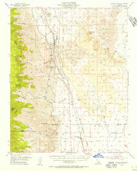
Editions of this 1982 Pearsonville Map
2 editions found
Other maps of this area

1915 · Searles Lake
USGS Topo · 1:250,000
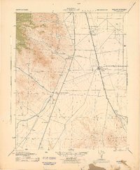
1943 · Inyokern
USGS Topo · 1:62,500

1947 · Trona
USGS Topo · 1:250,000

1948 · Trona
USGS Topo · 1:250,000
1953 · Mountain Springs Canyon
USGS Topo · 1:62,500
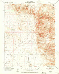
1953 · Ridgecrest
USGS Topo · 1:62,500

1953 · Trona
USGS Topo · 1:250,000
1954 · Little Lake
USGS Topo · 1:62,500

1957 · Trona
USGS Topo · 1:250,000

1960 · Trona
USGS Topo · 1:250,000