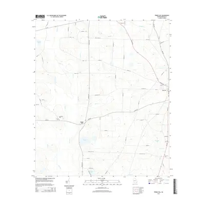
2014 Map of Pebble Hill
USGS Topo · Published 2014About this map
Pebble Hill and the town of Morven anchor this agricultural landscape in Brooks County, where the terrain is defined by a network of slow-moving coastal plain waterways. The topography is shaped by the winding courses of Okapilco Cr, Rainy Cr, and Little Cr, which converge amidst several named depressions and ponds such as Crevasse Pond and Johnson Pond. This area reflects a long-standing rural settlement pattern, evidenced by numerous family-named landmarks and cemeteries tucked away from the main thoroughfares.
Find a feature on this map
62 named features on this map. Tap any name to fly to it.
Don’t see what you’re looking for? This feature index may not catch every label — zoom into the map to look around manually.
Map Details
Editions of this 2014 Pebble Hill Map
This is the sole edition of this map. No revisions or reprints were ever made.
Other maps of this area

1953 · Waycross
USGS Topo · 1:250,000

1954 · Valdosta
USGS Topo · 1:250,000

1958 · Valdosta
USGS Topo · 1:250,000

1958 · Waycross
USGS Topo · 1:250,000

1959 · Valdosta
USGS Topo · 1:250,000

1961 · Quitman
USGS Topo · 1:62,500

1961 · Hahira West
USGS Topo · 1:24,000

1961 · Ousley
USGS Topo · 1:24,000

1973 · Cecil
USGS Topo · 1:24,000

1974 · Berlin East
USGS Topo · 1:24,000