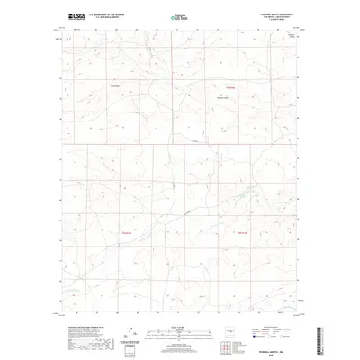
2020 Map of Pedernal Arroyo
USGS Topo · Published 2020About this map
Pedernal Arroyo and the drainage network of Arroyo del Macho dominate this high-desert landscape in Lincoln County. This 2020 survey illustrates a sparsely populated region of New Mexico where life and travel are dictated by the natural seasonal waterways, including Hogadero Draw and Middle Arroyo. The terrain is strictly partitioned by the Public Land Survey System, with township and range lines such as t6s r16e and t5s r16e defining the legal geography of the ranching country.
Find a feature on this map
14 named features on this map. Tap any name to fly to it.
Don’t see what you’re looking for? This feature index may not catch every label — zoom into the map to look around manually.
Map Details
Editions of this 2020 Pedernal Arroyo Map
This is the sole edition of this map. No revisions or reprints were ever made.
Other maps of this area

1935 · Capitan Mountains
USGS Topo · 1:48,000

1936 · Arabela
USGS Topo · 1:48,000

1940 · Capitan Mountains
USGS Topo · 1:62,500

1942 · Arabela
USGS Topo · 1:62,500

1955 · Roswell
USGS Topo · 1:250,000

1958 · Roswell
USGS Topo · 1:250,000

1962 · Roswell
USGS Topo · 1:250,000
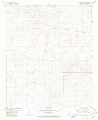
1981 · Pedernal Arroyo
USGS Topo · 1:24,000

1981 · Huff Hill
USGS Topo · 1:24,000
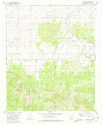
1981 · Encinoso
USGS Topo · 1:24,000