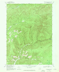
1969 Map of Peekamoose Mtn
USGS Topo · Published 1971About this map
The confluence of the West Branch Neversink River and East Branch Neversink River defines the northern reaches of this landscape within the Catskill State Park. Revised in the late 1960s, this document records the small settlements of Denning, Sundown, and Greenville as they appeared prior to significant modern development. The terrain is deeply incised by numerous waterways including Troy Mill Brook, Stone Cabin Brook, and Buttermilk Falls Brook, which drain from high points like Peekamoose Mtn and Slide Mtn.
Find a feature on this map
47 named features on this map. Tap any name to fly to it.
Don’t see what you’re looking for? This feature index may not catch every label — zoom into the map to look around manually.
Map Details
Editions of this 1969 Peekamoose Mtn Map
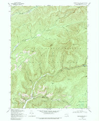
2 editions found
Other maps of this area

1900 · Phoenicia
USGS Topo · 1:62,500

1901 · Margaretville
USGS Topo · 1:62,500

1903 · Phoenicia
USGS Topo · 1:62,500

1903 · Slide Mountain
USGS Topo · 1:62,500

1904 · Margaretville
USGS Topo · 1:62,500

1905 · Slide Mountain
USGS Topo · 1:62,500

1910 · Neversink
USGS Topo · 1:62,500

1942 · West Shokan
USGS Topo · 1:24,000

1942 · Neversink
USGS Topo · 1:62,500

1942 · Lackawack
USGS Topo · 1:24,000