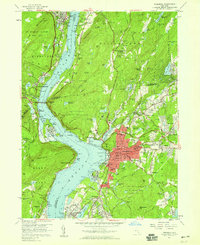
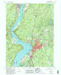
1957 Map of Peekskill
USGS Topo · Published 1959About this map
The Hudson River serves as the dominant axis for this mid-century survey, dividing the high-elevation terrain of the Highlands from the expanding suburban and industrial corridors of Peekskill and Buchanan. The map documents a complex landscape of religious and educational institutions, including the Monastery of Mary Immaculate and Peekskill Military Academy, alongside significant military land use at the Camp Smith Military Reservation.
Find a feature on this map
177 named features on this map. Tap any name to fly to it.
Don’t see what you’re looking for? This feature index may not catch every label — zoom into the map to look around manually.
Map Details
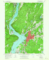
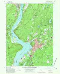
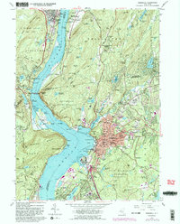
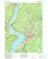
Editions of this 1957 Peekskill Map
6 editions found
Other maps of this area

1891 · Ramapo
USGS Topo · 1:62,500

1892 · West Point
USGS Topo · 1:62,500

1892 · Tarrytown
USGS Topo · 1:62,500

1893 · Tarrytown
USGS Topo · 1:62,500

1893 · Ramapo
USGS Topo · 1:62,500

1894 · West Point
USGS Topo · 1:62,500

1899 · West Point
USGS Topo · 1:62,500

1901 · West Point
USGS Topo · 1:62,500

1902 · Tarrytown
USGS Topo · 1:62,500

1902 · Schunemunk
USGS Topo · 1:62,500