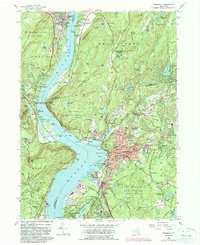
1957 Map of Peekskill
USGS Topo · Published 1990About this map
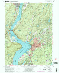
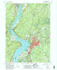
The Hudson River corridor serves as the dramatic centerpiece of this mid-century survey, anchoring a region of significant military and institutional history. Along the western bank, the southern reaches of the U S Military Academy overlook the water, while the eastern shore is dotted with historic religious and educational complexes, including the Monastery of Mary Immaculate and the Peekskill Mil Academy. The landscape is a mix of dense settlement in Peekskill and smaller riverside hamlets like Doodletown and Manitou.
Find a feature on this map
184 named features on this map. Tap any name to fly to it.
Don’t see what you’re looking for? This feature index may not catch every label — zoom into the map to look around manually.
Map Details
Editions of this 1957 Peekskill Map
6 editions found
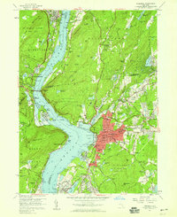
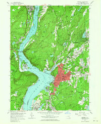
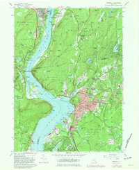
Other maps of this area

1891 · Ramapo
USGS Topo · 1:62,500

1892 · West Point
USGS Topo · 1:62,500

1892 · Tarrytown
USGS Topo · 1:62,500

1893 · Tarrytown
USGS Topo · 1:62,500

1893 · Ramapo
USGS Topo · 1:62,500

1894 · West Point
USGS Topo · 1:62,500

1899 · West Point
USGS Topo · 1:62,500

1901 · West Point
USGS Topo · 1:62,500

1902 · Tarrytown
USGS Topo · 1:62,500

1902 · Schunemunk
USGS Topo · 1:62,500