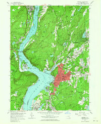
1957 Map of Peekskill
USGS Topo · Published 1964About this map
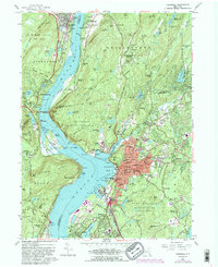
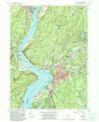
Peekskill and the surrounding Hudson Highlands appear during a period of significant regional transition, balancing dense residential development with vast institutional and military lands. Along the western bank of the Hudson River, the US Military Academy West Point and Palisades Interstate Park preserve large tracts of terrain, including Dunderberg Mountain and Bald Mtn. Eastward, the city of Peekskill is shown in intricate detail, revealing a civic landscape of neighborhood schools like Oakside Sch and Franklin Sch, alongside the prominent Peekskill Mil Academy.
Find a feature on this map
191 named features on this map. Tap any name to fly to it.
Don’t see what you’re looking for? This feature index may not catch every label — zoom into the map to look around manually.
Map Details
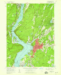
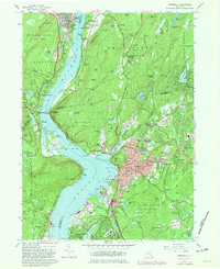
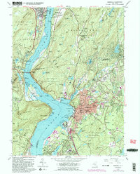
Editions of this 1957 Peekskill Map
6 editions found
Other maps of this area

1891 · Ramapo
USGS Topo · 1:62,500

1892 · West Point
USGS Topo · 1:62,500

1892 · Tarrytown
USGS Topo · 1:62,500

1893 · Tarrytown
USGS Topo · 1:62,500

1893 · Ramapo
USGS Topo · 1:62,500

1894 · West Point
USGS Topo · 1:62,500

1899 · West Point
USGS Topo · 1:62,500

1901 · West Point
USGS Topo · 1:62,500

1902 · Tarrytown
USGS Topo · 1:62,500

1902 · Schunemunk
USGS Topo · 1:62,500