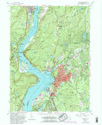
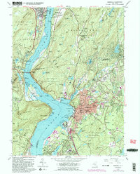
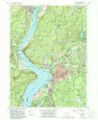
1957 Map of Peekskill
USGS Topo · Published 1990About this map
Hudson River geography dominates this mid-century survey, centered on the strategic bend near Peekskill and the heights of Bear Mountain. The map details the transition from the bustling riverside city of Peekskill to the military and institutional landscapes of the Highlands. Significant cultural landmarks include the Monastery of Mary Immaculate and Ladycliff College to the north, while the southern reaches show the burgeoning residential patterns of Verplanck and Buchanan.
Find a feature on this map
148 named features on this map. Tap any name to fly to it.
Don’t see what you’re looking for? This feature index may not catch every label — zoom into the map to look around manually.
Map Details
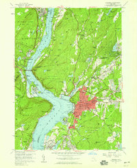
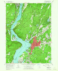
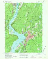
Editions of this 1957 Peekskill Map
6 editions found
Other maps of this area

1891 · Ramapo
USGS Topo · 1:62,500

1892 · West Point
USGS Topo · 1:62,500

1892 · Tarrytown
USGS Topo · 1:62,500

1893 · Tarrytown
USGS Topo · 1:62,500

1893 · Ramapo
USGS Topo · 1:62,500

1894 · West Point
USGS Topo · 1:62,500

1899 · West Point
USGS Topo · 1:62,500

1901 · West Point
USGS Topo · 1:62,500

1902 · Tarrytown
USGS Topo · 1:62,500

1902 · Schunemunk
USGS Topo · 1:62,500