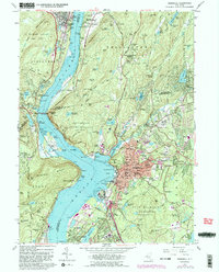
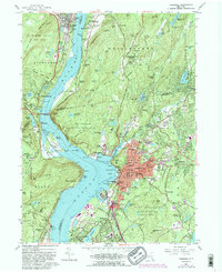
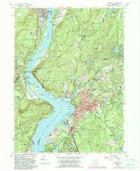
1957 Map of Peekskill
USGS Topo · Published 1990About this map
Peekskill and the surrounding Hudson Highlands are documented here in a detailed postwar portrait of the lower Hudson Valley. The map centers on the winding Hudson River, showing the narrow navigation through the highlands past the Monastery of Mary Immaculate and Con Hook. To the north, the institutional footprint of Highland Falls and Ladycliff College stands opposite the wooded slopes of Philipstown, while south of the river bend, industrial and residential expansion is evident in Buchanan and Verplanck. Notable for local historians is the depiction of Continental Village, a site of significant Revolutionary War importance, and the transition of smaller hamlets like Toddville and Pleasantside as they began to integrate into the suburban fabric of Westchester County. This revision, based on 1950s surveys with later updates, captures the region's balance of historic military sites, river-dependent industry, and growing residential corridors.
Find a feature on this map
17 named features on this map. Tap any name to fly to it.
Don’t see what you’re looking for? This feature index may not catch every label — zoom into the map to look around manually.
Map Details
Editions of this 1957 Peekskill Map
6 editions found
Other maps of this area

1891 · Ramapo
USGS Topo · 1:62,500

1892 · West Point
USGS Topo · 1:62,500

1892 · Tarrytown
USGS Topo · 1:62,500

1893 · Tarrytown
USGS Topo · 1:62,500

1893 · Ramapo
USGS Topo · 1:62,500

1894 · West Point
USGS Topo · 1:62,500

1899 · West Point
USGS Topo · 1:62,500

1901 · West Point
USGS Topo · 1:62,500

1902 · Tarrytown
USGS Topo · 1:62,500

1902 · Schunemunk
USGS Topo · 1:62,500